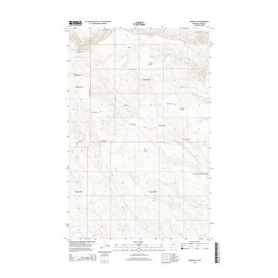
2014 Map of Hinsdale SE
USGS Topo · Published 2014About this map
Ruby Reservoir sits in the southwestern reaches of this drainage-rich landscape in Valley County, where seasonal waterways have carved a complex system of coulees. The terrain is defined by its watershed patterns, notably Hardscrabble Cr and the northern and southern forks of Antelope Creek. A network of rural routes and trails, including Hinsdale Bench Rd and the Valley View Trl, navigates the ridges between deep depressions like Snow Coulee and Traux Coulee. This map documents a sparsely populated ranching or agricultural region where naming conventions often follow the local geography of the coulees, such as Buffalo Coulee and Ash Coulee, which serve as primary landmarks in an area dominated by natural relief rather than urban development.
Find a feature on this map
24 named features on this map. Tap any name to fly to it.
Don’t see what you’re looking for? This feature index may not catch every label — zoom into the map to look around manually.
Map Details
Editions of this 2014 Hinsdale SE Map
This is the sole edition of this map. No revisions or reprints were ever made.
Other maps of this area

1906 · Hinsdale Special Map
USGS Topo · 1:62,500

1943 · Glasgow
USGS Topo · 1:125,000

1954 · Glasgow
USGS Topo · 1:250,000

1957 · Glasgow
USGS Topo · 1:250,000

1958 · Glasgow
USGS Topo · 1:250,000

1958 · Miller Coulee
USGS Topo · 1:62,500
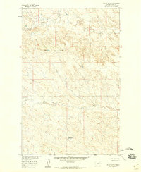
1958 · Billick Coulee
USGS Topo · 1:24,000

1969 · Vandalia
USGS Topo · 1:24,000

1969 · Ellsworth Coulee
USGS Topo · 1:24,000
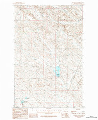
1984 · Hardpan Coulee
USGS Topo · 1:24,000