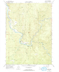
1966 Map of Hiouchi
USGS Topo · Published 1968About this map
The confluence of the Smith River and its South Fork Smith River serves as the focal point for this mid-1960s study of Del Norte County. The small community of Hiouchi sits at this major hydraulic junction, acting as a gateway to the dense timberlands and protected groves of the region. Much of the southern landscape is occupied by Jedediah Smith Redwoods State Park, featuring the notable Stout Grove and a Jedediah Smith Campground along the river banks.
Find a feature on this map
39 named features on this map. Tap any name to fly to it.
Don’t see what you’re looking for? This feature index may not catch every label — zoom into the map to look around manually.
Map Details
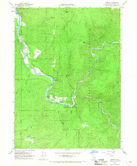
Editions of this 1966 Hiouchi Map
2 editions found
Other maps of this area

1922 · Preston Peak
USGS Topo · 1:125,000

1929 · Crescent City
USGS Topo · 1:125,000

1945 · Ship Mountain
USGS Topo · 1:62,500

1945 · Gasquet
USGS Topo · 1:62,500

1945 · Point St. George
USGS Topo · 1:62,500

1945 · Requa
USGS Topo · 1:62,500

1948 · Weed
USGS Topo · 1:250,000

1949 · Eureka
USGS Topo · 1:250,000

1950 · Weed
USGS Topo · 1:250,000

1951 · Gasquet
USGS Topo · 1:62,500