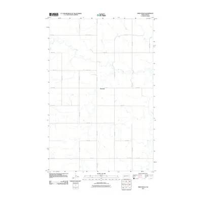
2011 Map of Hirschville
USGS Topo · Published 2011About this map
Hirschville serves as the central point of this Dunn County landscape, situated where the geometric precision of the Great Plains grid meets the wandering path of Deep Creek. The map documents a sparsely settled agricultural region defined by an extensive network of section-line roads, including 24th St Sw and 98th Ave Sw. This 2011 survey, produced by the U.S. Geological Survey, illustrates the persistence of the original land survey system in North Dakota, where nearly every square mile is accessible by a numbered thoroughfare. The drainage of Deep Creek provides the only significant break in the rolling upland topography, carving a natural corridor through the structured farm blocks and creating a distinct contrast between the organic waterway and the rigid human-made boundaries.
Find a feature on this map
17 named features on this map. Tap any name to fly to it.
Don’t see what you’re looking for? This feature index may not catch every label — zoom into the map to look around manually.
Map Details
Editions of this 2011 Hirschville Map
This is the sole edition of this map. No revisions or reprints were ever made.
Other maps of this area

1953 · Dickinson
USGS Topo · 1:250,000

1953 · Watford City
USGS Topo · 1:250,000

1957 · Dickinson
USGS Topo · 1:250,000

1957 · Watford City
USGS Topo · 1:250,000

1962 · Davis Buttes
USGS Topo · 1:24,000

1967 · Watford City
USGS Topo · 1:250,000

1973 · Boyle
USGS Topo · 1:24,000

1973 · Taylor
USGS Topo · 1:24,000

1973 · Marshall SW
USGS Topo · 1:24,000

1973 · Ziner Butte
USGS Topo · 1:24,000