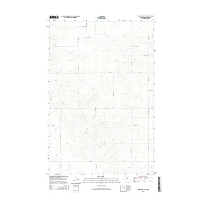
2014 Map of Hirschville SW
USGS Topo · Published 2014About this map
Deep Cr meanders across this rural section of Dunn County, providing the primary drainage for a landscape defined by a strictly surveyed grid of section roads. This 2014 survey captures the persistent agricultural geometry of the region, where north-south corridors like 104th Ave SW and 105th Ave SW intersect east-west routes such as 25th St SW and 28th St SW. The terrain shows the characteristic erosion patterns of the western North Dakota uplands, with subtle elevation changes marked by the 20-foot contour intervals. This map serves as a precise record of contemporary rural infrastructure, showing the placement of section-line roads and the intermittent watercourses that have historically dictated land use and property boundaries in this prairie environment.
Find a feature on this map
17 named features on this map. Tap any name to fly to it.
Don’t see what you’re looking for? This feature index may not catch every label — zoom into the map to look around manually.
Map Details
Editions of this 2014 Hirschville SW Map
This is the sole edition of this map. No revisions or reprints were ever made.
Other maps of this area

1953 · Dickinson
USGS Topo · 1:250,000

1953 · Watford City
USGS Topo · 1:250,000

1957 · Dickinson
USGS Topo · 1:250,000

1957 · Watford City
USGS Topo · 1:250,000

1959 · Dickinson North
USGS Topo · 1:24,000

1962 · Davis Buttes
USGS Topo · 1:24,000

1967 · Watford City
USGS Topo · 1:250,000

1973 · Boyle
USGS Topo · 1:24,000

1973 · Manning SE
USGS Topo · 1:24,000

1973 · Ziner Butte
USGS Topo · 1:24,000