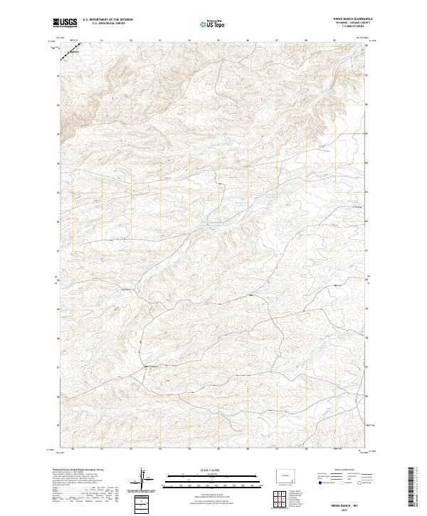
2021 Map of Hirsig Ranch
USGS Topo · Published 2021About this map
Hirsig Ranch and the small settlement at Lambert anchor this high-plains landscape in Laramie County, where water management is the primary driver of development. The complex network of creeks and man-made impoundments, including the Hirsig Number 1 Reservoir and the uniquely named Hirsig Enlargement R P Allen Number 1 Reservoir, suggests a history of cattle ranching and localized irrigation. These features are linked by a series of county roads such as Co RD 241 and Co RD 107, which traverse the undulating terrain between the forks of Bear Creek. The drainage patterns of the N Fork S Fork Bear Cr and S Fork Bear Cr reveal how the topography dictates the placement of rural homesteads and vital water stores in this arid portion of Wyoming.
Find a feature on this map
17 named features on this map. Tap any name to fly to it.
Don’t see what you’re looking for? This feature index may not catch every label — zoom into the map to look around manually.
Map Details
Editions of this 2021 Hirsig Ranch Map
This is the sole edition of this map. No revisions or reprints were ever made.
Other maps of this area

1905 · Sherman
USGS Topo · 1:125,000

1911 · Cheyenne
USGS Topo · 1:125,000

1914 · Cheyenne
USGS Topo · 1:125,000

1954 · Cheyenne
USGS Topo · 1:250,000

1958 · Cheyenne
USGS Topo · 1:250,000

1962 · Horse Creek
USGS Topo · 1:24,000

1962 · Dereemer Ranch
USGS Topo · 1:24,000

1962 · Farthing
USGS Topo · 1:24,000

1962 · Delano Ranch
USGS Topo · 1:24,000

1962 · Bristol Ridge
USGS Topo · 1:24,000