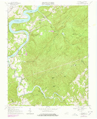
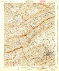
1968 Map of Hiwassee
USGS Topo · Published 1978About this map
The New River and Claytor Lake define the northern limits of this landscape, where the Norfolk and Western railway follows the river's winding course through Hiwassee and Allisonia. This 1968 survey (photorevised in 1977) captures the rural industrial and spiritual character of the New River Valley, marked by small settlements like Tinytown and Mack Creek Village. The rugged southern interior is dominated by the massive ridge of Macks Mountain, separating the main river valley from the winding path of Reed Island Creek.
Find a feature on this map
58 named features on this map. Tap any name to fly to it.
Don’t see what you’re looking for? This feature index may not catch every label — zoom into the map to look around manually.
Map Details
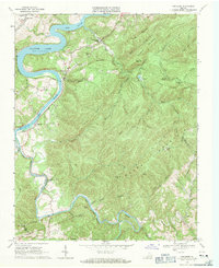
Editions of this 1968 Hiwassee Map
2 editions found
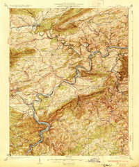
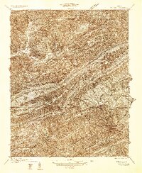
Other maps of this area

1889 · Hillsville
USGS Topo · 1:125,000

1890 · Dublin
USGS Topo · 1:125,000

1891 · Dublin
USGS Topo · 1:125,000

1892 · Hillsville
USGS Topo · 1:125,000

1896 · Hillsville
USGS Topo · 1:125,000
1930 · Max Meadows
USGS Topo · 1:62,500
1934 · Pulaski
USGS Topo · 1:48,000
1940 · Pulaski
USGS Topo · 1:62,500
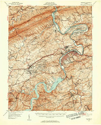
1950 · Radford
USGS Topo · 1:62,500

1953 · Winston-Salem
USGS Topo · 1:250,000