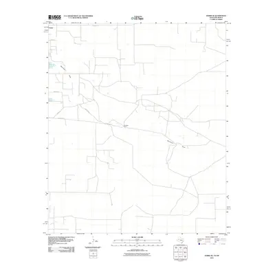
2010 Map of Hobbs SE
USGS Topo · Published 2010About this map
Nadine sits at the northwestern edge of this southeastern New Mexico landscape, marking a small pocket of settlement in the high plains of Lea County. The terrain is defined by the ephemeral path of Monument Draw, which cut through the arid brushland from the northwest. Large-scale agricultural and ranching operations are evident through features like the Kornegay Ranch, situated along the southern corridor. The map reveals a grid of rural infrastructure, where primary routes like County Rd 59 and Dickerson Rd intersect with local landmarks such as Water Dog and Penasco. This 2010 survey by the U.S. Geological Survey documents a landscape where traditional ranching life and a sparse network of modern roads coexist, providing a clear view of the area's development before further industrial or residential shifts altered the character of this borderland region.
Find a feature on this map
9 named features on this map. Tap any name to fly to it.
Don’t see what you’re looking for? This feature index may not catch every label — zoom into the map to look around manually.
Map Details
Editions of this 2010 Hobbs SE Map
This is the sole edition of this map. No revisions or reprints were ever made.
Other maps of this area

1954 · Hobbs
USGS Topo · 1:250,000

1958 · Hobbs
USGS Topo · 1:250,000

1969 · Hobbs SW
USGS Topo · 1:24,000

1969 · Hobbs East
USGS Topo · 1:24,000

1969 · Eunice
USGS Topo · 1:24,000

1969 · Hobbs SE
USGS Topo · 1:24,000

1969 · Eunice NE
USGS Topo · 1:24,000

1969 · Hobbs West
USGS Topo · 1:24,000

1971 · Brinson Ranch
USGS Topo · 1:24,000

1971 · Jumbo Hill
USGS Topo · 1:24,000