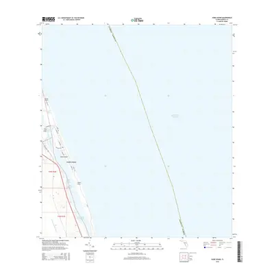
2015 Map of Hobe Sound
USGS Topo · Published 2015About this map
Jupiter Island and its surrounding barrier islands dominate this coastal survey of Martin County, where the Atlantic shoreline meets a complex network of estuarine waters. The landscape is defined by the Indian River Lagoon and the Intracoastal Waterway, which separate the mainland settlements like Hobe Sound from the oceanfront. This mapping reflects the modern infrastructure of the Treasure Coast, showing the residential grid and transit corridors including SE Dixie Hwy and Sr A1a.
Find a feature on this map
22 named features on this map. Tap any name to fly to it.
Don’t see what you’re looking for? This feature index may not catch every label — zoom into the map to look around manually.
Map Details
Editions of this 2015 Hobe Sound Map
This is the sole edition of this map. No revisions or reprints were ever made.
Other maps of this area

1948 · Rood
USGS Topo · 1:24,000

1948 · St. Lucie Inlet
USGS Topo · 1:24,000

1948 · Gomez
USGS Topo · 1:24,000

1948 · Hobe Sound
USGS Topo · 1:24,000

1948 · Jupiter
USGS Topo · 1:24,000

1949 · Rood
USGS Topo · 1:24,000

1949 · Gomez
USGS Topo · 1:24,000

1949 · Hobe Sound
USGS Topo · 1:24,000

1950 · St. Lucie Inlet
USGS Topo · 1:24,000

1950 · Jupiter
USGS Topo · 1:24,000