
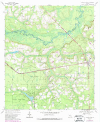
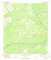
1967 Map of Hoboken West
USGS Topo · Published 1969About this map
Satilla River wetlands and the dense timberlands of the Waycross State Forest dominate this landscape in Southeast Georgia. The local economy and settlement patterns are clearly tied to the Seaboard Coast Line railroad, which runs through the communities of Schlatterville and Hoboken. Researchers will find a high density of rural religious and burial sites, such as Enon Ch and Greenlawn Cem, which suggest established family lineages in the area.
Find a feature on this map
43 named features on this map. Tap any name to fly to it.
Don’t see what you’re looking for? This feature index may not catch every label — zoom into the map to look around manually.
Map Details
Editions of this 1967 Hoboken West Map
2 editions found
Other maps of this area

1953 · Waycross
USGS Topo · 1:250,000

1958 · Waycross
USGS Topo · 1:250,000
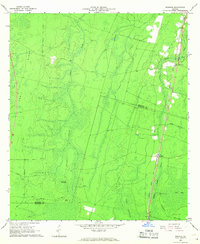
1966 · Winokur
USGS Topo · 1:24,000
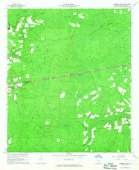
1966 · Hoboken East
USGS Topo · 1:24,000

1967 · Waycross SE
USGS Topo · 1:24,000
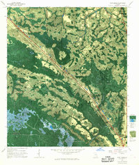
1967 · Fort Mudge
USGS Topo · 1:24,000

1967 · Waycross East
USGS Topo · 1:24,000

1971 · Blackshear East
USGS Topo · 1:24,000

1971 · Blackshear West
USGS Topo · 1:24,000
1971 · Patterson SE
USGS Topo · 1:24,000