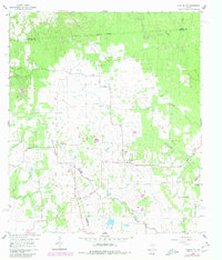
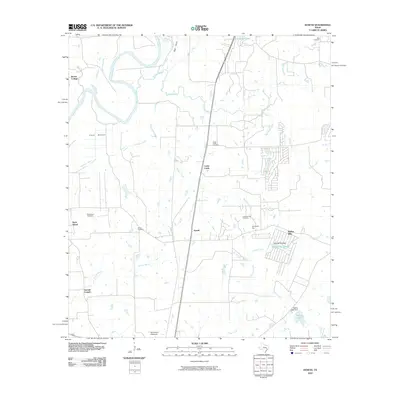
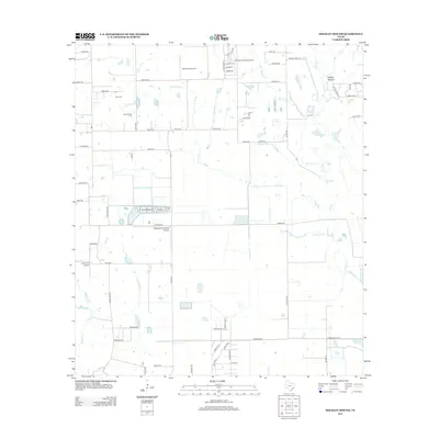
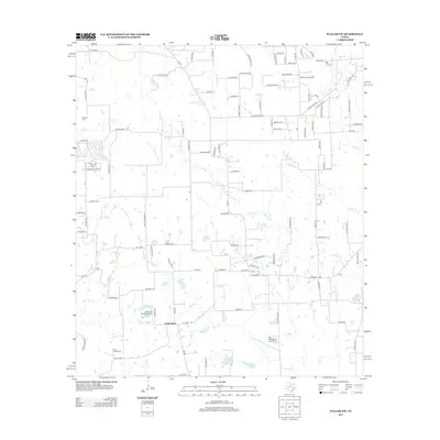
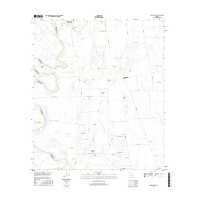
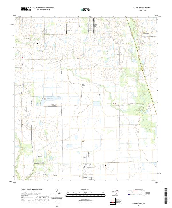
1971 Map of Hockley Mound
USGS Topo · Published 1980About this map
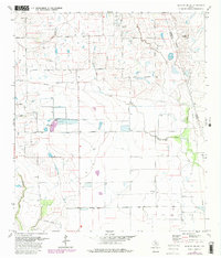
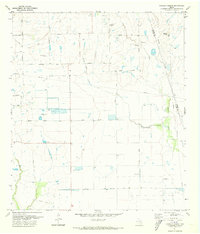
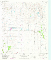
Hockley Mound rises above the surrounding landscape in Waller County, a prominent geological landmark on a sheet defined by a network of drainage creeks and ranching roads. In the early 1970s, this area north of the Katy Oil and Gas Field remained largely rural, anchored by agricultural thoroughfares such as Monaville Road and Davis Road. Small family burial grounds, including the Frey Cem and Warwarofsky Cem, are preserved among the fields, providing vital evidence of the early settler families who established these homesteads. The emergence of modern aviation is marked by the Sky Lakes Airport near a local Golf Course, showing the transition from traditional land use toward recreational and industrial expansion, particularly near the Waller Co Harris Co line where numerous Gas Wells are indicated.
Find a feature on this map
24 named features on this map. Tap any name to fly to it.
Don’t see what you’re looking for? This feature index may not catch every label — zoom into the map to look around manually.
Map Details
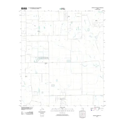
Editions of this 1971 Hockley Mound Map
3 editions found
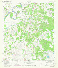
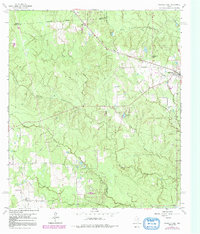
Historical Maps of Harris County Through Time
30 maps found
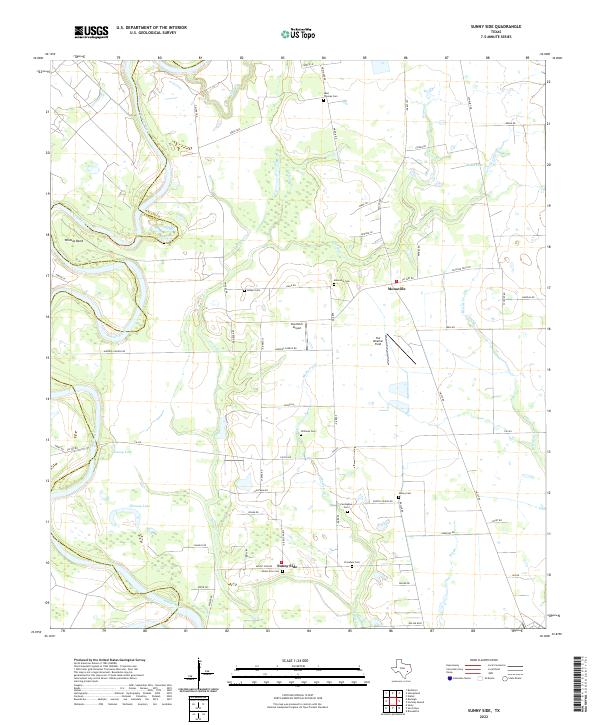
1960 Sunny Side
Waller County, TX
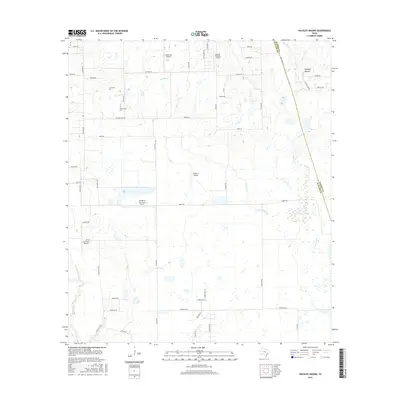
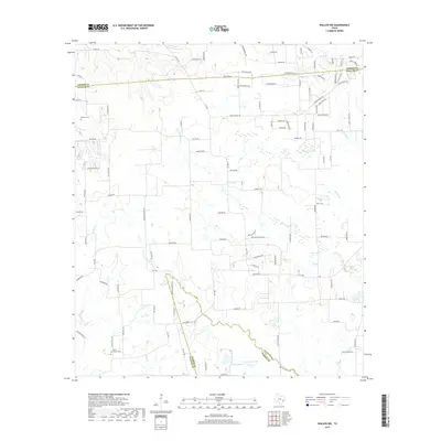
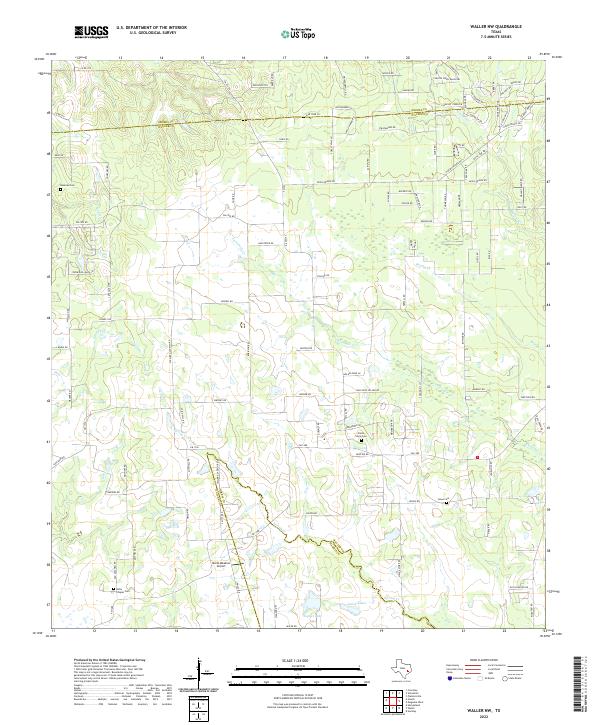
1960 Waller NW
Waller County, TX
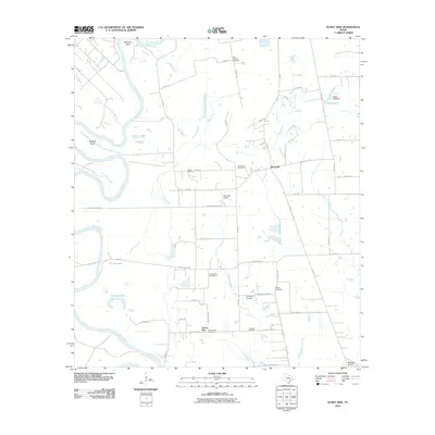
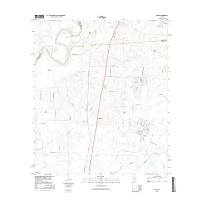
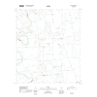
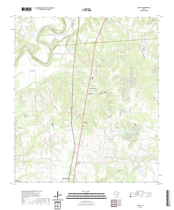
1961 Howth
Waller County, TX
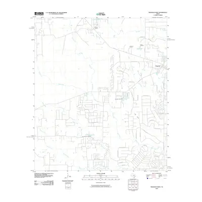
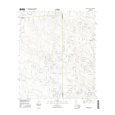
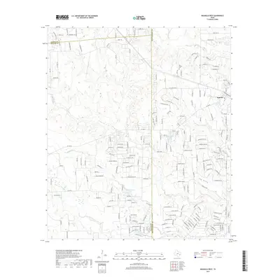
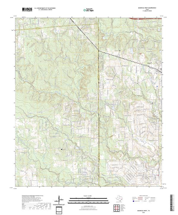
1962 Magnolia West
Waller County, TX
1971 Hockley Mound
Waller County, TX
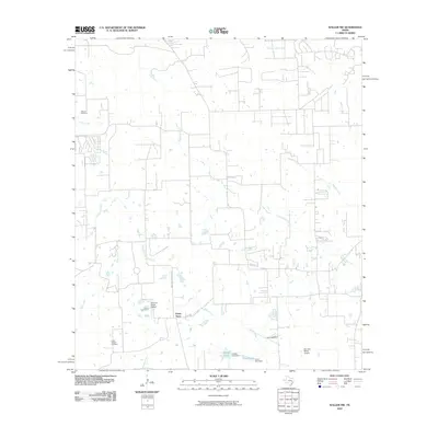
2010 Hockley Mound
Waller County, TX
2010 Howth
Waller County, TX
2010 Magnolia West
Waller County, TX
2010 Sunny Side
Waller County, TX
2010 Waller NW
Waller County, TX
2013 Hockley Mound
Waller County, TX
2013 Howth
Waller County, TX
2013 Magnolia West
Waller County, TX
2013 Sunny Side
Waller County, TX
2013 Waller NW
Waller County, TX
2016 Hockley Mound
Waller County, TX
2016 Howth
Waller County, TX
2016 Magnolia West
Waller County, TX
2016 Sunny Side
Waller County, TX
2016 Waller NW
Waller County, TX
2019 Hockley Mound
Waller County, TX
2019 Howth
Waller County, TX
2019 Magnolia West
Waller County, TX
2019 Sunny Side
Waller County, TX
2019 Waller NW
Waller County, TX
2022 Hockley Mound
Waller County, TX
2022 Howth
Waller County, TX
2022 Sunny Side
Waller County, TX
2022 Waller NW
Waller County, TX
2023 Magnolia West
Waller County, TX