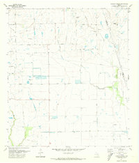
1971 Map of Hockley Mound
USGS Topo · Published 1973About this map
Hockley Mound rises as a distinct topographical landmark above the surrounding prairie, marking a high point in the flat coastal plains of Southeast Texas. This early 1970s survey captures a landscape defined by traditional ranching and a growing petroleum economy, specifically within the Katy Oil and Gas Field shown in the southern portion of the sheet. Numerous gas wells and a network of pipelines punctuate the drainage basins of Snake Creek, Live Oak Creek, and Cypress Creek.
Find a feature on this map
25 named features on this map. Tap any name to fly to it.
Don’t see what you’re looking for? This feature index may not catch every label — zoom into the map to look around manually.
Map Details
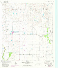
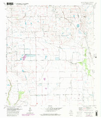
Editions of this 1971 Hockley Mound Map
3 editions found
Other maps of this area

1915 · Katy
USGS Topo · 1:24,000

1916 · Hockley
USGS Topo · 1:24,000

1916 · Swanson
USGS Topo · 1:24,000

1919 · Swanson
USGS Topo · 1:31,680

1920 · Hockley
USGS Topo · 1:31,680

1920 · Waller
USGS Topo · 1:31,680

1950 · Houston
USGS Topo · 1:250,000

1953 · Seguin
USGS Topo · 1:250,000

1954 · Beaumont
USGS Topo · 1:250,000

1954 · Austin
USGS Topo · 1:250,000