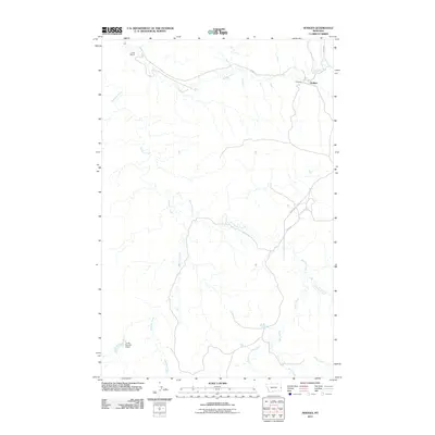
2011 Map of Hodges
USGS Topo · Published 2011About this map
Hodges serves as a focal point in this 2011 survey of Dawson County, Montana, where the prairie landscape is defined by an intricate network of drainages and small settlements. The area shows evidence of early twentieth-century rail and ranching infrastructure, notably at Long Siding and the settlement of Iona in the northwest. Water management is a critical feature of this arid environment, represented by the Jonas Number 6 Dam and numerous creek systems, including Hodges Creek, Glendive Creek, and Eastman Creek. The map documents the persistent rural road network, with routes like Road 118 and Yates Rd connecting scattered homesteads and pastures. To the south, the terrain becomes more complex as Horse Creek and the South Fork Horse Creek carve through the plains toward Wolf Creek, illustrating the natural watershed patterns of eastern Montana.
Find a feature on this map
14 named features on this map. Tap any name to fly to it.
Don’t see what you’re looking for? This feature index may not catch every label — zoom into the map to look around manually.
Map Details
Editions of this 2011 Hodges Map
This is the sole edition of this map. No revisions or reprints were ever made.
Other maps of this area

1909 · Glendive
USGS Topo · 1:250,000

1953 · Miles City
USGS Topo · 1:250,000

1954 · Glendive
USGS Topo · 1:250,000

1957 · Miles City
USGS Topo · 1:250,000

1957 · Glendive
USGS Topo · 1:250,000

1958 · Miles City
USGS Topo · 1:250,000

1958 · Glendive
USGS Topo · 1:250,000

1967 · Allard
USGS Topo · 1:24,000

1967 · Twin Forks Reservoir
USGS Topo · 1:24,000

1981 · Glendive
USGS Topo · 1:100,000