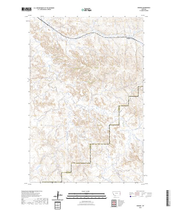
2024 Map of Hodges
USGS Topo · Published 2024About this map
Hodges stands as the primary settlement on this eastern Montana landscape, situated near the confluence of local drainage systems in a region defined by its wide, branching watercourses. The drainage patterns of Glendive Creek and Hodges Creek dominate the northern portion of the map, while Eastman Creek and Freeman Creek carve through the central and southern terrain. The boundary between Dawson County and Wibaux County runs through the eastern half of the sheet, marking a transition in local jurisdiction.
Find a feature on this map
16 named features on this map. Tap any name to fly to it.
Don’t see what you’re looking for? This feature index may not catch every label — zoom into the map to look around manually.
Map Details
Editions of this 2024 Hodges Map
This is the sole edition of this map. No revisions or reprints were ever made.
Other maps of this area

1909 · Glendive
USGS Topo · 1:250,000

1953 · Miles City
USGS Topo · 1:250,000

1954 · Glendive
USGS Topo · 1:250,000

1957 · Miles City
USGS Topo · 1:250,000

1957 · Glendive
USGS Topo · 1:250,000

1958 · Miles City
USGS Topo · 1:250,000

1958 · Glendive
USGS Topo · 1:250,000

1967 · Allard
USGS Topo · 1:24,000

1967 · Twin Forks Reservoir
USGS Topo · 1:24,000

1981 · Glendive
USGS Topo · 1:100,000