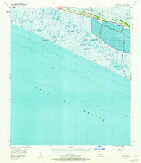
1955 Map of Hog Bayou
USGS Topo · Published 1962About this map
Cow Island Cheniere and the Grand Cheniere Ridge dominate this mid-century coastal landscape, representing the distinctive elevated ridges that supported settlement above the surrounding marshland. The vast Rockefeller Wildlife Refuge and Game Preserve spans much of the eastern terrain, crisscrossed by industrial infrastructure including the Humble Canal and Negro Canal.
Find a feature on this map
34 named features on this map. Tap any name to fly to it.
Don’t see what you’re looking for? This feature index may not catch every label — zoom into the map to look around manually.
Map Details
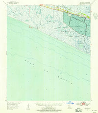
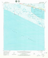
Editions of this 1955 Hog Bayou Map
3 editions found
Other maps of this area

1932 · Constance Bayou SW
USGS Topo · 1:31,680

1932 · Constance Bayou NW
USGS Topo · 1:31,680

1934 · Catfish Lake
USGS Topo · 1:24,000

1935 · Catfish Lake
USGS Topo · 1:31,680

1935 · Bay Labauve
USGS Topo · 1:31,680

1935 · Grand Chenier
USGS Topo · 1:31,680

1946 · Hog Bayou NE
USGS Topo · 1:31,680

1946 · Hog Bayou NW
USGS Topo · 1:31,680
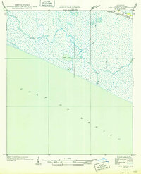
1949 · Hog Bayou NW
USGS Topo · 1:31,680

1949 · Hog Bayou NE
USGS Topo · 1:31,680