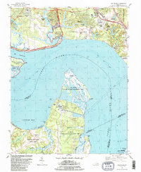
1984 Map of Hog Island
USGS Topo · Published 1984About this map
The colonial heritage and modern energy infrastructure of the lower James River converge on this mid-1980s coastal survey. The historic landscape is anchored by Jamestown Island, featuring Travis Cem, and the nearby Kingsmill Plantation Site north of the river. These colonial-era sites stand in contrast to the mid-century industrial presence of the Surry Nuclear Powerplant on Gravel Neck, showing the region's shift from plantation agriculture to specialized utility and conservation land.
Find a feature on this map
66 named features on this map. Tap any name to fly to it.
Don’t see what you’re looking for? This feature index may not catch every label — zoom into the map to look around manually.
Map Details
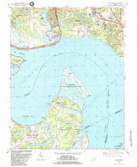
Editions of this 1984 Hog Island Map
2 editions found
Other maps of this area

1906 · Williamsburg
USGS Topo · 1:62,500

1907 · Yorktown
USGS Topo · 1:62,500

1917 · Toano
USGS Topo · 1:62,500

1918 · Toano
USGS Topo · 1:62,500

1919 · Surry
USGS Topo · 1:62,500

1943 · Yorktown
USGS Topo · 1:62,500

1943 · Richmond
USGS Topo · 1:250,000

1944 · Yorktown
USGS Topo · 1:24,000
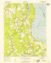
1948 · Bacons Castle
USGS Topo · 1:24,000

1949 · Richmond
USGS Topo · 1:250,000