
1964 Map of Hog Mountain
USGS Topo · Published 1965About this map
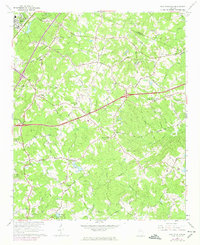
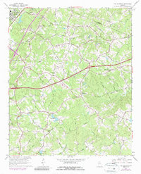
Hog Mountain rises as a central landmark in this mid-1960s landscape, marking the headwaters where multiple river systems begin their descent. This topography is defined by the convergence of the Mulberry River, Appalachee River, Alcovy River, and Yellow River, illustrating the high-ground drainage patterns that shaped local settlement. While Buford occupies the northwestern corner, the map primarily details a rural network of family-named roads and community anchors like Harmony Sch and Hog Mountain Ch.
Find a feature on this map
67 named features on this map. Tap any name to fly to it.
Don’t see what you’re looking for? This feature index may not catch every label — zoom into the map to look around manually.
Map Details
Editions of this 1964 Hog Mountain Map
3 editions found
Other maps of this area

1888 · Atlanta
USGS Topo · 1:125,000

1890 · Suwanee
USGS Topo · 1:125,000

1890 · Atlanta
USGS Topo · 1:125,000

1891 · Gainesville
USGS Topo · 1:125,000

1892 · Atlanta
USGS Topo · 1:125,000

1894 · Suwanee
USGS Topo · 1:125,000

1895 · Atlanta
USGS Topo · 1:125,000

1896 · Monroe
USGS Topo · 1:125,000

1953 · Atlanta
USGS Topo · 1:250,000

1953 · Athens
USGS Topo · 1:250,000