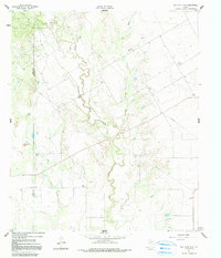
1961 Map of Hog Mountain
USGS Topo · Published 1991About this map
Fort Chadbourne Oil Field dominates the northwest corner of this West Texas landscape, showing a dense concentration of oil wells and gas wells that defined the regional economy in the mid-20th century. The terrain is deeply etched by the meandering path of Oak Wagon Creek and the southern reaches of Dry Hollow Draw, illustrating the drainage patterns that shaped ranching and settlement in Runnels County.
Find a feature on this map
15 named features on this map. Tap any name to fly to it.
Don’t see what you’re looking for? This feature index may not catch every label — zoom into the map to look around manually.
Map Details
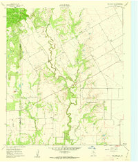
Editions of this 1961 Hog Mountain Map
2 editions found
Other maps of this area

1891 · Hayrick
USGS Topo · 1:125,000

1893 · Sweetwater
USGS Topo · 1:125,000

1894 · Hayrick
USGS Topo · 1:125,000

1921 · Bronte
USGS Topo · 1:31,680

1921 · Maverick
USGS Topo · 1:31,680

1921 · Quarry Creek
USGS Topo · 1:31,680

1921 · Mays School
USGS Topo · 1:31,680

1954 · Big Spring
USGS Topo · 1:250,000

1954 · San Angelo
USGS Topo · 1:250,000

1958 · San Angelo
USGS Topo · 1:250,000