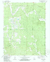
1980 Map of Hogan Hollow
USGS Topo · Published 1986About this map
The settlement of Budapest and the northern reaches of the State Public Hunting Area anchor this mid-1970s landscape at the intersection of Ripley, Carter, and Butler counties. The terrain is defined by a dense network of hollows, including Hogan Hollow, Pump Hollow, and Beehole Hollow, which drain into larger arteries like Tenmile Creek and the Little Black R. This area within the Mark Twain National Forest shows a scattered pattern of rural landmarks and essential infrastructure, from the Grandin Lookout Tower near the southern border to the L W R Range Landing Strip further north.
Find a feature on this map
32 named features on this map. Tap any name to fly to it.
Don’t see what you’re looking for? This feature index may not catch every label — zoom into the map to look around manually.
Map Details
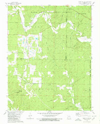
Editions of this 1980 Hogan Hollow Map
2 editions found
Other maps of this area

1934 · Williamsville
USGS Topo · 1:48,000

1935 · Acorn
USGS Topo · 1:62,500

1939 · Doniphan
USGS Topo · 1:62,500

1940 · Williamsville
USGS Topo · 1:62,500

1940 · Naylor
USGS Topo · 1:62,500

1944 · Naylor
USGS Topo · 1:62,500

1944 · Grandin
USGS Topo · 1:62,500

1945 · Doniphan
USGS Topo · 1:62,500

1946 · Grandin
USGS Topo · 1:62,500

1957 · Poplar Bluff
USGS Topo · 1:250,000