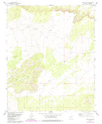
1979 Map of Hogan Well
USGS Topo · Published 1984About this map
Puerco Ridge dominates the northern landscape of this high-desert region in Apache County, where the dry channel of Milky Wash cuts through the southwestern corner. The mapping shows an arid environment defined by its water infrastructure, which was critical for ranching or industrial activity in the late 1970s. Key landmarks including the Hogan Well WT, Jenson Well WT, and Well No 1 WT highlight the systematic placement of water towers and extraction points across the township lines of T 18 N and T 17 N.
Find a feature on this map
13 named features on this map. Tap any name to fly to it.
Don’t see what you’re looking for? This feature index may not catch every label — zoom into the map to look around manually.
Map Details
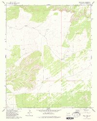
Editions of this 1979 Hogan Well Map
2 editions found
Other maps of this area

1886 · St Johns
USGS Topo · 1:250,000

1886 · Fort Defiance
USGS Topo · 1:250,000

1892 · Fort Defiance
USGS Topo · 1:250,000

1892 · St Johns
USGS Topo · 1:250,000

1954 · Saint Johns
USGS Topo · 1:250,000

1954 · Gallup
USGS Topo · 1:250,000

1957 · Saint Johns
USGS Topo · 1:250,000

1958 · Gallup
USGS Topo · 1:250,000

1958 · Saint Johns
USGS Topo · 1:250,000

1959 · Gallup
USGS Topo · 1:250,000