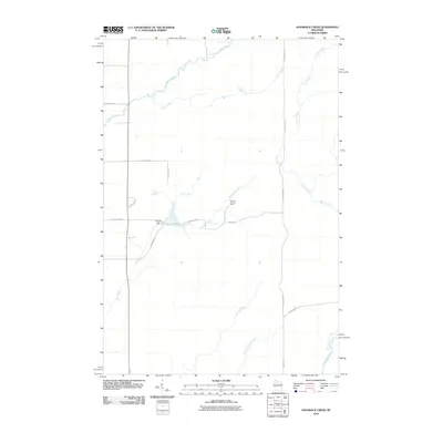
2010 Map of Hogsback Creek
USGS Topo · Published 2010About this map
Brunet River and its numerous tributaries define the drainage patterns of this Rusk County landscape, where the water's path often dictates the placement of early infrastructure. The Finnell Dam stands as a notable point of water management on Hogsback Creek, just south of where Nail Creek and Elm Creek converge. The terrain is marked by the presence of the Swayne Lookout Tower, a structural landmark positioned near Tower RD that suggests the area's history with forest monitoring and fire prevention. To the southeast, the Little Thornapple River flows toward its junction with the Thornapple River, while a grid of local roads like Old Highway 70 and Hibbening RD provides access to the interior. This map is particularly useful for those tracing the intersection of mid-century fire management infrastructure with natural water systems.
Find a feature on this map
20 named features on this map. Tap any name to fly to it.
Don’t see what you’re looking for? This feature index may not catch every label — zoom into the map to look around manually.
Map Details
Editions of this 2010 Hogsback Creek Map
This is the sole edition of this map. No revisions or reprints were ever made.
Other maps of this area

1944 · Exeland
USGS Topo · 1:48,000

1944 · Draper
USGS Topo · 1:48,000

1944 · Radisson
USGS Topo · 1:48,000

1945 · Ingram
USGS Topo · 1:48,000

1947 · Exeland
USGS Topo · 1:48,000

1947 · Ingram
USGS Topo · 1:48,000

1947 · Draper
USGS Topo · 1:48,000

1949 · Radisson
USGS Topo · 1:48,000

1953 · Rice Lake
USGS Topo · 1:250,000

1959 · Rice Lake
USGS Topo · 1:250,000