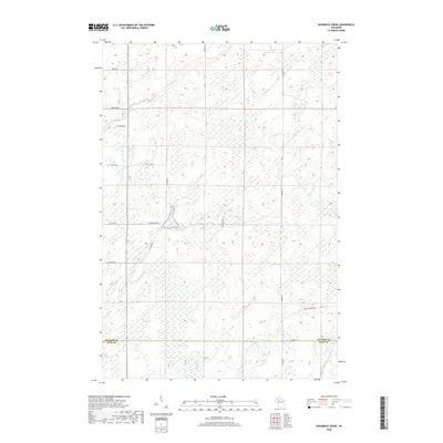
2018 Map of Hogsback Creek
USGS Topo · Published 2018About this map
The Brunet River and its multiple tributaries define this northern Wisconsin landscape where Sawyer and Rusk counties meet. This 2018 survey illustrates a complex hydrological system characterized by the winding courses of Nail Cr, Elm Cr, and Tupper Cr. The topography is shaped by these watercourses as they feed into larger systems like the Thornapple River and the Little Thornapple River to the south.
Find a feature on this map
25 named features on this map. Tap any name to fly to it.
Don’t see what you’re looking for? This feature index may not catch every label — zoom into the map to look around manually.
Map Details
Editions of this 2018 Hogsback Creek Map
This is the sole edition of this map. No revisions or reprints were ever made.
Other maps of this area

1944 · Exeland
USGS Topo · 1:48,000

1944 · Draper
USGS Topo · 1:48,000

1944 · Radisson
USGS Topo · 1:48,000

1945 · Ingram
USGS Topo · 1:48,000

1947 · Exeland
USGS Topo · 1:48,000

1947 · Ingram
USGS Topo · 1:48,000

1947 · Draper
USGS Topo · 1:48,000

1949 · Radisson
USGS Topo · 1:48,000

1953 · Rice Lake
USGS Topo · 1:250,000

1959 · Rice Lake
USGS Topo · 1:250,000