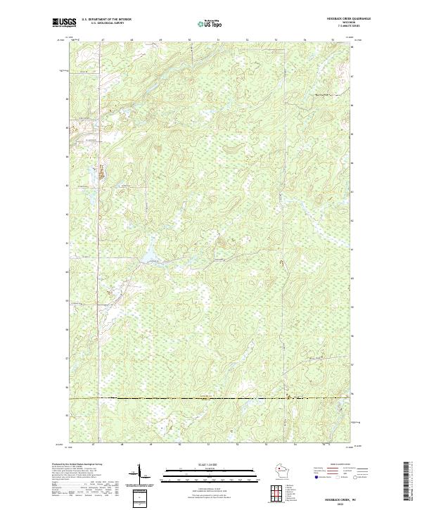
2022 Map of Hogsback Creek
USGS Topo · Published 2022About this map
The Brunet River winds through the northern reaches of this landscape, marking a heavily glaciated region where the border of Sawyer and Rusk County meets in the south. This area is defined by its complex hydrography, featuring a dense network of waterways including the Little Thornapple River and Thornapple River that drain through extensive wetlands. The transport patterns reflect a long history of timber management and rural development, notably along Bissell Grade Rd and Hogsback Rd. The lack of dense settlements suggests a landscape largely devoted to forestry or conservation, with named creeks like Nail Cr and Elm Cr serving as the primary landmarks between isolated rural tracks. Surveyed for the U.S. Geological Survey, this sheet provides a high-resolution view of the drainage patterns and secondary road networks as they existed in the early 21st century.
Find a feature on this map
33 named features on this map. Tap any name to fly to it.
Don’t see what you’re looking for? This feature index may not catch every label — zoom into the map to look around manually.
Map Details
Editions of this 2022 Hogsback Creek Map
This is the sole edition of this map. No revisions or reprints were ever made.
Other maps of this area

1944 · Exeland
USGS Topo · 1:48,000

1944 · Draper
USGS Topo · 1:48,000

1944 · Radisson
USGS Topo · 1:48,000

1945 · Ingram
USGS Topo · 1:48,000

1947 · Exeland
USGS Topo · 1:48,000

1947 · Ingram
USGS Topo · 1:48,000

1947 · Draper
USGS Topo · 1:48,000

1949 · Radisson
USGS Topo · 1:48,000

1953 · Rice Lake
USGS Topo · 1:250,000

1959 · Rice Lake
USGS Topo · 1:250,000