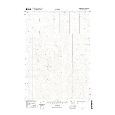
2015 Map of Hohrman Ranch
USGS Topo · Published 2015About this map
Hohrman Ranch sits at the heart of this central South Dakota landscape, where the drainage systems of Frozen Man Cr, Plum Cr, and Brush Cr carve subtle patterns into the prairie. The topography is defined by the high plains of Stanley County, organized by the Public Land Survey System into townships like t4n r26e and t5n r26e. The road network is sparse and functional, consisting of long, straight stretches such as Diamond Willow Pl and Gray Pl that follow section lines. This map illustrates the intersection of modern ranching operations and the natural hydrology of the Missouri Plateau, showing how human activity adapts to the watercourses that provide essential resources in this semi-arid environment.
Find a feature on this map
17 named features on this map. Tap any name to fly to it.
Don’t see what you’re looking for? This feature index may not catch every label — zoom into the map to look around manually.
Map Details
Editions of this 2015 Hohrman Ranch Map
This is the sole edition of this map. No revisions or reprints were ever made.
Other maps of this area

1951 · Van Metre
USGS Topo · 1:24,000

1951 · Capa NW
USGS Topo · 1:24,000

1954 · Pierre
USGS Topo · 1:250,000

1958 · Pierre
USGS Topo · 1:250,000

1980 · Princes Ranch
USGS Topo · 1:25,000
1982 · Doty Ridge
USGS Topo · 1:24,000

1982 · Hayes South
USGS Topo · 1:24,000

1982 · Hohrman Ranch
USGS Topo · 1:24,000
1982 · Midland NE
USGS Topo · 1:24,000

1983 · Hayes North
USGS Topo · 1:24,000