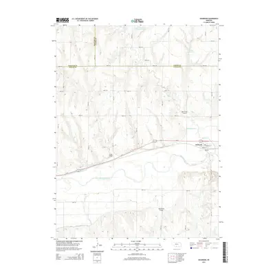
2014 Map of Holbrook
USGS Topo · Published 2014About this map
Holbrook sits at the eastern edge of this landscape, where the local street grid including Norwich St and Ontario St meets the path of Us-34. This area of Furnas County is defined by the valley of the Republican River, a waterway flanked by significant irrigation infrastructure including the Cambridge Canal and Bartley Canal. These water-management features, along with upland reservoirs like Gross Reservoir Number 2 and Hilger Reservoir, reflect the agricultural dependency of the High Plains. The surrounding terrain is deeply incised by erosion, creating prominent features such as Deer Creek Canyon, Wild Horse Canyon, and Smith Canyon. These landforms dictate the winding routes of rural corridors like Road 724 and Road 413 as they navigate the breaks between the river valley and the higher prairie tablelands.
Find a feature on this map
35 named features on this map. Tap any name to fly to it.
Don’t see what you’re looking for? This feature index may not catch every label — zoom into the map to look around manually.
Map Details
Editions of this 2014 Holbrook Map
This is the sole edition of this map. No revisions or reprints were ever made.
Other maps of this area

1896 · Arapahoe
USGS Topo · 1:125,000

1898 · Arapahoe
USGS Topo · 1:125,000

1954 · McCook
USGS Topo · 1:250,000

1955 · Grand Island
USGS Topo · 1:250,000

1956 · Cambridge
USGS Topo · 1:24,000

1956 · Medicine Creek Dam
USGS Topo · 1:24,000

1957 · McCook
USGS Topo · 1:250,000

1957 · Grand Island
USGS Topo · 1:250,000

1958 · McCook
USGS Topo · 1:250,000

1958 · Grand Island
USGS Topo · 1:250,000