
1944 Map of Holden
USGS Topo · Published 1955About this map
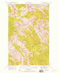
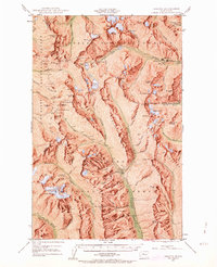
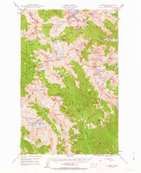
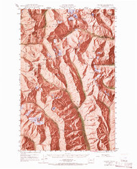
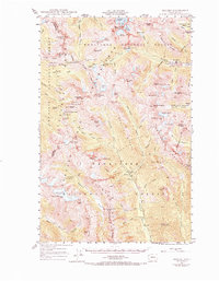
Holden serves as the industrial and social hub of this high-elevation landscape, situated at the terminus of a road along Railroad Creek. The settlement is closely tied to the Holden Mine, which stands as a prominent feature of the local economy during this era. Further south, the mining outpost of Trinity marks the headwaters of the Chiwawa River, located near the Red Mountain Mine. These isolated settlements reflect the mid-century reliance on mineral extraction in the Cascades, supported by a network of pack trails like the Crest Trail and Little Giant Trail.
Find a feature on this map
88 named features on this map. Tap any name to fly to it.
Don’t see what you’re looking for? This feature index may not catch every label — zoom into the map to look around manually.
Map Details
Editions of this 1944 Holden Map
7 editions found
Other maps of this area

1899 · Glacier Peak
USGS Topo · 1:125,000

1901 · Glacier Peak
USGS Topo · 1:125,000

1901 · Chiwaukum
USGS Topo · 1:125,000

1902 · Skykomish
USGS Topo · 1:125,000

1902 · Stehekin
USGS Topo · 1:125,000

1904 · Stehekin
USGS Topo · 1:125,000

1904 · Chiwaukum
USGS Topo · 1:125,000

1905 · Skykomish
USGS Topo · 1:125,000

1944 · Lucerne
USGS Topo · 1:62,500

1949 · Lucerne
USGS Topo · 1:62,500