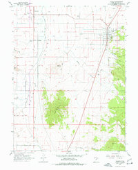
1962 Map of Holden
USGS Topo · Published 1977About this map
Holden sits at the foot of the eastern mountains in this early 1960s survey, anchoring a landscape where engineered irrigation meets the arid Pavant Valley. The town's grid is clearly defined, with a Cem on its northern edge and the Union Pacific line running several miles to the west through Greenwood. This era of Millard County history is characterized by a complex network of water management, visible in the Central Utah Canal and various diversions like the Current Spring Ditch and Maple Hollow Ditch that feed the agricultural valley floor.
Find a feature on this map
28 named features on this map. Tap any name to fly to it.
Don’t see what you’re looking for? This feature index may not catch every label — zoom into the map to look around manually.
Map Details
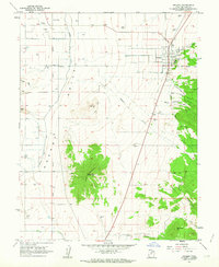
Editions of this 1962 Holden Map
2 editions found
Other maps of this area

1885 · Beaver
USGS Topo · 1:250,000

1885 · Sevier Desert
USGS Topo · 1:250,000

1953 · Richfield
USGS Topo · 1:250,000

1953 · Delta
USGS Topo · 1:250,000

1958 · Richfield
USGS Topo · 1:250,000

1958 · Delta
USGS Topo · 1:250,000

1960 · Meadow
USGS Topo · 1:24,000

1961 · Fillmore
USGS Topo · 1:24,000

1961 · Mt. Catherine
USGS Topo · 1:24,000

1961 · Richfield
USGS Topo · 1:62,500