
1956 Map of Holderness
USGS Topo · Published 1959About this map
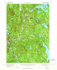
The Pemigewasset River carves a deep valley through this mid-century landscape, serving as a corridor for the Boston and Maine Railroad and the Daniel Webster Highway. Centered on the industrial and transport hub of Ashland, the map reveals a region defined by its numerous lakes and the peaks of the White Mountains foothills. Significant water bodies like Squam Lake, Little Squam Lake, and Lake Waukewan dominate the northern half, while Lake Winnisquam extends into the southeast.
Find a feature on this map
96 named features on this map. Tap any name to fly to it.
Don’t see what you’re looking for? This feature index may not catch every label — zoom into the map to look around manually.
Map Details
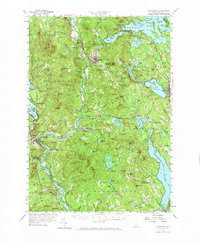
Editions of this 1956 Holderness Map
3 editions found
Other maps of this area

1909 · Winnepesaukee
USGS Topo · 1:62,500

1919 · Gilmanton
USGS Topo · 1:62,500

1925 · Holderness
USGS Topo · 1:62,500

1927 · Penacook
USGS Topo · 1:62,500

1927 · Gilmanton
USGS Topo · 1:62,500

1927 · Holderness
USGS Topo · 1:62,500

1927 · Cardigan
USGS Topo · 1:62,500

1928 · Mount Kearsarge
USGS Topo · 1:62,500

1928 · Plymouth
USGS Topo · 1:62,500

1928 · Rumney
USGS Topo · 1:62,500