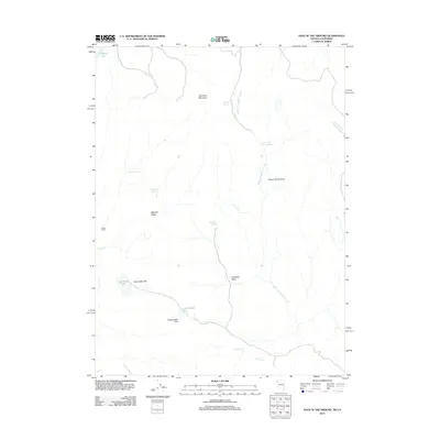
2011 Map of Hole In The Ground
USGS Topo · Published 2011About this map
Painter Ranch sits on the western edge of this High Desert landscape, where the Nevada-California border meets in a region defined by seasonal water and vast volcanic plateaus. The terrain is characterized by broad elevated features like Madelin Mesa and the prominent Rowland Mountain to the north. These heights overlook expansive, arid depressions such as Big Adobe Flat and Little Adobe Flat.
Find a feature on this map
18 named features on this map. Tap any name to fly to it.
Don’t see what you’re looking for? This feature index may not catch every label — zoom into the map to look around manually.
Map Details
Editions of this 2011 Hole In The Ground Map
This is the sole edition of this map. No revisions or reprints were ever made.
Other maps of this area

1886 · Honey Lake
USGS Topo · 1:250,000

1886 · Granite Range
USGS Topo · 1:250,000

1891 · Honey Lake
USGS Topo · 1:250,000

1893 · Honey Lake
USGS Topo · 1:250,000

1894 · Granite Range
USGS Topo · 1:250,000

1954 · Observation Peak
USGS Topo · 1:62,500

1954 · Shinn Mountain
USGS Topo · 1:62,500

1955 · Westwood
USGS Topo · 1:250,000

1955 · Lovelock
USGS Topo · 1:250,000

1958 · Westwood
USGS Topo · 1:250,000