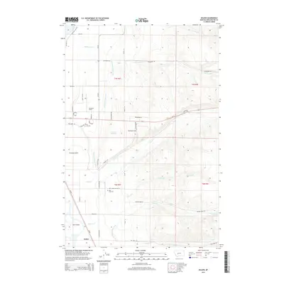
2014 Map of Holker
USGS Topo · Published 2014About this map
Townsend Valley is defined by a sophisticated network of irrigation and water management, where the Broadwater Missouri Canal and Fairchild Ditch cut across the landscape to support the region's agricultural vitality. Near the settlement of Holker, the terrain transitions into the braided channels of Greyson Cr and the unique landforms of Yorks Islands. This area reflects the essential infrastructure of Broadwater County, featuring the Townsend Airport and the Townsend Reservoir, which serve as focal points for local transport and resource storage.
Find a feature on this map
49 named features on this map. Tap any name to fly to it.
Don’t see what you’re looking for? This feature index may not catch every label — zoom into the map to look around manually.
Map Details
Editions of this 2014 Holker Map
This is the sole edition of this map. No revisions or reprints were ever made.
Other maps of this area

1886 · Fort Logan
USGS Topo · 1:250,000

1948 · White Sulphur Springs
USGS Topo · 1:250,000

1949 · Radersburg
USGS Topo · 1:62,500

1949 · Toston
USGS Topo · 1:62,500

1950 · Townsend
USGS Topo · 1:62,500

1950 · Duck Creek Pass
USGS Topo · 1:62,500

1958 · White Sulphur Springs
USGS Topo · 1:250,000

1961 · White Sulphur Springs
USGS Topo · 1:250,000

1965 · White Sulphur Springs
USGS Topo · 1:250,000

1976 · Townsend
USGS Topo · 1:100,000