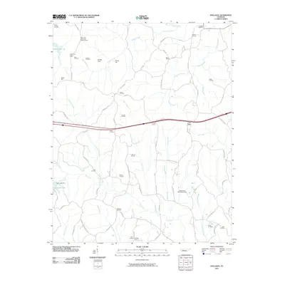
2010 Map of Holladay
USGS Topo · Published 2010About this map
Shiloh Cemetery and the high point of Inman Ridge anchor this West Tennessee landscape, where small rural communities are defined by an intricate network of creeks and ridge-top cemeteries. The area around County Corner shows a distinct pattern of small family burial grounds and legacy roads, such as Old Poplar Springs Sch Rd and Jeannette Holladay Rd, which trace the local genealogy of Carroll and Decatur counties. To the west, the terrain transitions into recreational and conservation uses at Maple Creek Lake and Cub Creek Lake, the latter featuring the Cub Creek Dam. Landmarks like the Maple Creek Lookout Tower and Pecan Tree Picnic and Camp Ground suggest a region that balances working farmland with managed woodlands. The map also captures the essential civic services of the era at the Holladay Post Office, serving as a primary point of reference for the surrounding homesteads and small-scale farms.
Find a feature on this map
82 named features on this map. Tap any name to fly to it.
Don’t see what you’re looking for? This feature index may not catch every label — zoom into the map to look around manually.
Map Details
Editions of this 2010 Holladay Map
This is the sole edition of this map. No revisions or reprints were ever made.
Other maps of this area

1936 · Yuma
USGS Topo · 1:24,000

1936 · Parsons
USGS Topo · 1:24,000

1936 · Seventeen Creek
USGS Topo · 1:24,000

1936 · Jeannette
USGS Topo · 1:24,000

1936 · Sugar Tree
USGS Topo · 1:24,000

1936 · Cavvia
USGS Topo · 1:24,000

1936 · Buena Vista
USGS Topo · 1:24,000

1936 · Rockport
USGS Topo · 1:24,000

1936 · Chesterfield
USGS Topo · 1:24,000
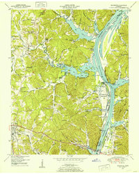
1949 · Jeannette
USGS Topo · 1:24,000