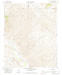
1961 Map of Holland Canyon
USGS Topo · Published 1980About this map
Temblor Range elevations dominate this 1961 survey, documenting the arid canyon lands along the boundary of Kern and San Luis Obispo counties. The geography is defined by a series of steep drainages including Hughes Canyon, Holland Canyon, and Wilkinson Canyon that feed into the broader San Juan Valley. Settlement is sparse and focused on ranching, centered at the San Juan Ranch near the banks of San Juan Creek. To the north, the Choice Valley area reveals the small Choice Valley Sch, a vital local landmark for the remote community. Historical water sources were essential for survival in this landscape, marked by named points such as Pear Tree Spring, Bellyache Spr, and Hughes Spring. The traverse through Palo Prieto Pass provides the primary passage through the heights, connecting these isolated valleys during the early 1960s.
Find a feature on this map
28 named features on this map. Tap any name to fly to it.
Don’t see what you’re looking for? This feature index may not catch every label — zoom into the map to look around manually.
Map Details
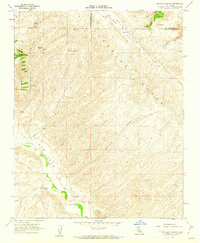
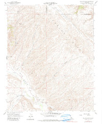
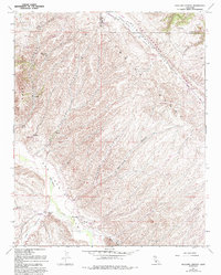
Editions of this 1961 Holland Canyon Map
4 editions found
Other maps of this area

1914 · Cholame
USGS Topo · 1:125,000

1915 · Cholame
USGS Topo · 1:125,000

1917 · Cholame
USGS Topo · 1:125,000

1922 · Pozo
USGS Topo · 1:62,500

1932 · La Panza
USGS Topo · 1:48,000

1935 · La Panza
USGS Topo · 1:62,500

1936 · La Panza
USGS Topo · 1:62,500

1943 · Packwood
USGS Topo · 1:31,680

1943 · Grant Lake
USGS Topo · 1:31,680

1943 · Commatti Canyon
USGS Topo · 1:31,680