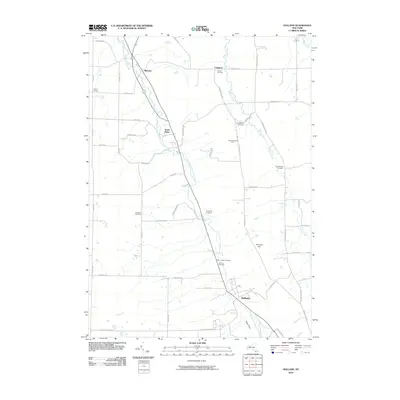
2010 Map of Holland
USGS Topo · Published 2010About this map
East Branch Cazenovia Creek and Hunter Creek carve through the landscape of southeastern Erie County, defining the settlement patterns of this rural area. The hamlet of Holland serves as a primary hub, situated near the dramatic terrain of Gears Gulf. Throughout the countryside, several family and community burial grounds, including Holmes Cemetery, Goodleberg Cemetery, and Humphrey Cemetery, provide significant points of interest for genealogists and local historians. This 2010 survey illustrates how modern development has integrated with established agrarian centers like South Wales and Colegrave. The map details a dense network of country roads, such as Vermont Hill Rd and Hunters Creek Rd, which connect outlying points like Field Of Dreams Farm and Poplar Corners to the central valley corridor.
Find a feature on this map
50 named features on this map. Tap any name to fly to it.
Don’t see what you’re looking for? This feature index may not catch every label — zoom into the map to look around manually.
Map Details
Editions of this 2010 Holland Map
This is the sole edition of this map. No revisions or reprints were ever made.
Other maps of this area

1905 · Attica
USGS Topo · 1:62,500

1905 · Depew
USGS Topo · 1:62,500

1923 · Arcade
USGS Topo · 1:62,500

1925 · Springville
USGS Topo · 1:62,500

1925 · Arcade
USGS Topo · 1:62,500

1948 · Depew
USGS Topo · 1:62,500

1949 · Attica
USGS Topo · 1:62,500

1949 · Cowlesville
USGS Topo · 1:24,000
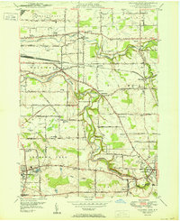
1950 · Orchard Park
USGS Topo · 1:24,000
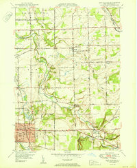
1950 · East Aurora
USGS Topo · 1:24,000