1967 Map of Holland
USGS Topo · Published 1986About this map
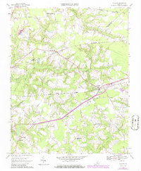
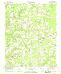
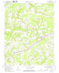
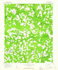
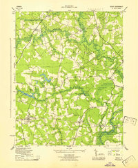
Holland serves as a central hub on this Virginia coastal plain landscape, where the confluence of agriculture and transportation is clearly defined. The area is marked by a complex network of wetlands, including Corrowaugh Swamp and Beaverdam Swamp, which dictate the placement of early settlements and road patterns. The influence of the rail era is evident in the parallel paths of the Norfolk And Western and Seaboard railroads, which facilitated the movement of local goods from towns like Carrsville and Elwood.
Find a feature on this map
29 named features on this map. Tap any name to fly to it.
Don’t see what you’re looking for? This feature index may not catch every label — zoom into the map to look around manually.
Map Details
Editions of this 1967 Holland Map
3 editions found
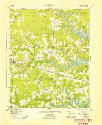
Other maps of this area

1919 · Smithfield
USGS Topo · 1:62,500

1919 · Suffolk
USGS Topo · 1:62,500

1920 · Holland
USGS Topo · 1:62,500

1920 · Ivor
USGS Topo · 1:62,500

1943 · Holland
USGS Topo · 1:62,500
1944 · Windsor
USGS Topo · 1:31,680
1944 · Sedley
USGS Topo · 1:24,000

1944 · Zuni
USGS Topo · 1:24,000

1945 · Zuni
USGS Topo · 1:31,680
1945 · Sedley
USGS Topo · 1:31,680