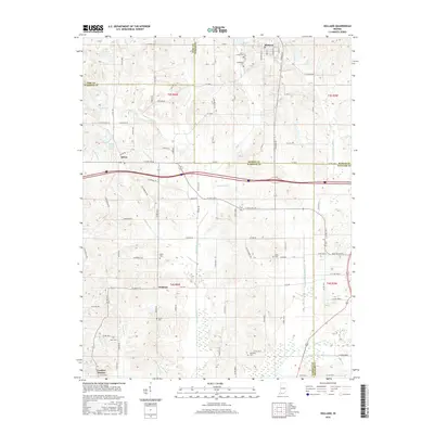
2016 Map of Holland
USGS Topo · Published 2016About this map
Holland and Selvin anchor this mid-2010s survey of the undulating borderlands where Dubois, Pike, Warrick, and Spencer counties meet. The landscape is defined by a dense network of drainages and ditches, including the Pokeberry Cr and Robinson Cr, which feed into the N Fork Little Pigeon Cr. The map reveals a deeply rooted rural community, marked by small unincorporated settlements like Heilman and Loafers Station. For genealogists, the map is particularly valuable for its precise location of family and church burial grounds, such as Saint James Cem near the northern border and Wetherill Cem to the south. Human management of the water table is evident through engineered features like Wires Ditch, Hutchinson Ditch, and Davis Enlow Ditch, which support the agricultural tracts between these scattered communities.
Find a feature on this map
101 named features on this map. Tap any name to fly to it.
Don’t see what you’re looking for? This feature index may not catch every label — zoom into the map to look around manually.
Map Details
Editions of this 2016 Holland Map
This is the sole edition of this map. No revisions or reprints were ever made.
Other maps of this area

1900 · St Meinrad
USGS Topo · 1:62,500

1900 · De Gonia Springs
USGS Topo · 1:62,500

1902 · Ditney
USGS Topo · 1:125,000

1902 · Degonia Springs
USGS Topo · 1:62,500

1903 · St. Meinrad
USGS Topo · 1:62,500

1903 · Velpen
USGS Topo · 1:62,500

1954 · Huntingburg
USGS Topo · 1:24,000

1956 · Vincennes
USGS Topo · 1:250,000

1957 · Vincennes
USGS Topo · 1:250,000

1958 · Vincennes
USGS Topo · 1:250,000