2022 Map of Hollandale
USGS Topo · Published 2022About this map
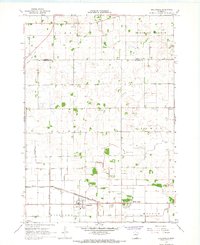
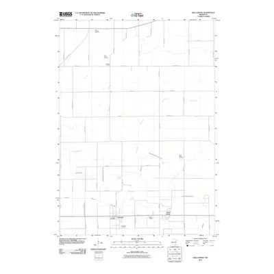
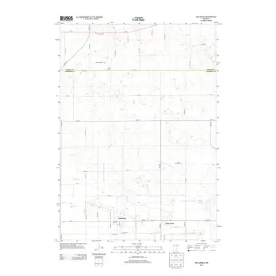
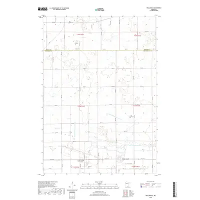
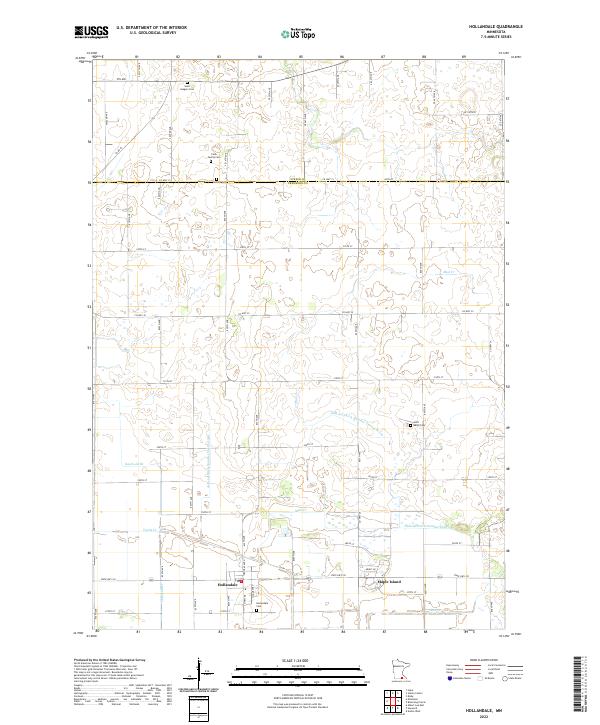
Hollandale stands as the central hub of this agricultural landscape in southern Minnesota, surrounded by a complex system of managed waterways. The terrain is defined by its drainage history, visible through named channels like Judicial Ditch Number Twentyseven, Judicial Ditch Number Twentyeight, and Judicial Ditch Number Thirty. These man-made improvements intersect with natural watercourses such as Mud Cr and Turtle Cr, reflecting the region's transformation for intensive farming. Genealogy researchers will find several small burial sites scattered across the township lines, including Saint Marys Cem, Hollandale Cem, and the private Clark Family Cem. To the east, the settlement of Maple Island sits near the headwaters of Deer Cr, marking the edge of a landscape heavily shaped by civil engineering and rural development.
Find a feature on this map
64 named features on this map. Tap any name to fly to it.
Don’t see what you’re looking for? This feature index may not catch every label — zoom into the map to look around manually.
Map Details
Editions of this 2022 Hollandale Map
This is the sole edition of this map. No revisions or reprints were ever made.
Historical Maps of Hollandale Through Time
6 maps found