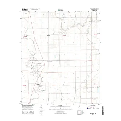
2015 Map of Hollandale
USGS Topo · Published 2015About this map
The alluvial plains of the Mississippi Delta define this area, where the town of Hollandale serves as a hub for the surrounding agricultural landscape. Waterways like Deer Creek, Murphy Bayou, and the winding Bogue Phalia dictate the layout of the land, with roads often following these natural drainage patterns. The map highlights numerous small settlements including Estill, Empire, Darlove, and Cletonia, which reflect the historic density of rural communities in this region.
Find a feature on this map
76 named features on this map. Tap any name to fly to it.
Don’t see what you’re looking for? This feature index may not catch every label — zoom into the map to look around manually.
Map Details
Editions of this 2015 Hollandale Map
This is the sole edition of this map. No revisions or reprints were ever made.
Other maps of this area

1939 · Tralake
USGS Topo · 1:62,500

1939 · Swan Lake
USGS Topo · 1:62,500

1940 · Auter
USGS Topo · 1:62,500

1940 · Baird
USGS Topo · 1:62,500

1953 · Greenwood
USGS Topo · 1:250,000

1956 · Greenwood
USGS Topo · 1:250,000
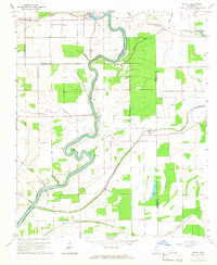
1965 · Richey
USGS Topo · 1:24,000

1965 · Kinlock
USGS Topo · 1:24,000
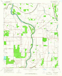
1965 · Midnight NW
USGS Topo · 1:24,000

1967 · Baird
USGS Topo · 1:62,500