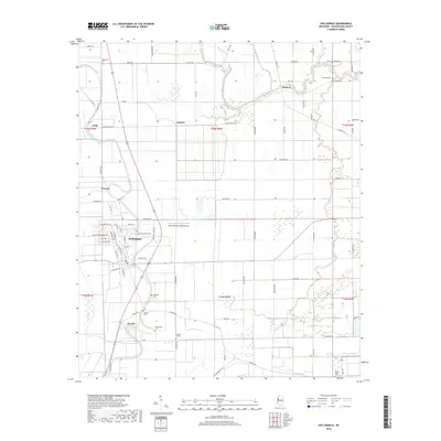
2018 Map of Hollandale
USGS Topo · Published 2018About this map
Deer Creek winds through the heart of this Washington County landscape, anchoring the city of Hollandale. The area is characterized by a dense network of local cemeteries that reflect the deep-rooted community history of the Mississippi Delta, including New Foundation Cem, Bellamy Cem, and Clitonia Cem. These sites, often situated near small clusters like Overby or along water courses like Fourmile Bayou, offer essential data for genealogists tracking family heritage in the region.
Find a feature on this map
80 named features on this map. Tap any name to fly to it.
Don’t see what you’re looking for? This feature index may not catch every label — zoom into the map to look around manually.
Map Details
Editions of this 2018 Hollandale Map
This is the sole edition of this map. No revisions or reprints were ever made.
Other maps of this area

1939 · Tralake
USGS Topo · 1:62,500

1939 · Swan Lake
USGS Topo · 1:62,500

1940 · Auter
USGS Topo · 1:62,500

1940 · Baird
USGS Topo · 1:62,500

1953 · Greenwood
USGS Topo · 1:250,000

1956 · Greenwood
USGS Topo · 1:250,000
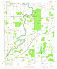
1965 · Richey
USGS Topo · 1:24,000

1965 · Kinlock
USGS Topo · 1:24,000
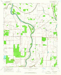
1965 · Midnight NW
USGS Topo · 1:24,000

1967 · Baird
USGS Topo · 1:62,500