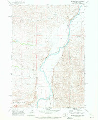
1969 Map of Hollenbeck Draw
USGS Topo · Published 1972About this map
The Clarks Fork Yellowstone River carves a deep valley through this borderland between Montana and Wyoming, defining the agricultural and hydrological character of the late 1960s. Irrigation is the lifeblood of the basin, evidenced by an intricate network of man-made waterways including the Rocky Point Canal, Wills Ditch, and Interstate Ditch. These systems divert water to support the arid landscape, while the Gaging Sta and Pumping Sta underscore the managed nature of the river.
Find a feature on this map
26 named features on this map. Tap any name to fly to it.
Don’t see what you’re looking for? This feature index may not catch every label — zoom into the map to look around manually.
Map Details
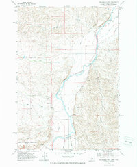
Editions of this 1969 Hollenbeck Draw Map
2 editions found
Other maps of this area

1944 · Red Lodge
USGS Topo · 1:62,500

1950 · Clark
USGS Topo · 1:62,500

1954 · Billings
USGS Topo · 1:250,000

1955 · Cody
USGS Topo · 1:250,000

1957 · Billings
USGS Topo · 1:250,000

1958 · Billings
USGS Topo · 1:250,000

1958 · Cody
USGS Topo · 1:250,000

1962 · Cody
USGS Topo · 1:250,000

1966 · Elk Basin NW
USGS Topo · 1:24,000
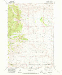
1969 · Tolman Flat
USGS Topo · 1:24,000