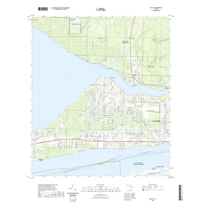
2021 Map of Holley
USGS Topo · Published 2021About this map
Navarre and the surrounding coastal communities are presented here during a period of sustained residential expansion along the Santa Rosa Sound. The geography is defined by the proximity of Eglin Air Force Base, which occupies much of the northern woodland, and the strategic naval presence at Nolf Holley and Nolf Choctaw. This coastal landscape is a complex network of bayous and points, including Miller Point and Axelson Point, where the land meets East Bay.
Find a feature on this map
38 named features on this map. Tap any name to fly to it.
Don’t see what you’re looking for? This feature index may not catch every label — zoom into the map to look around manually.
Map Details
Editions of this 2021 Holley Map
This is the sole edition of this map. No revisions or reprints were ever made.
Other maps of this area
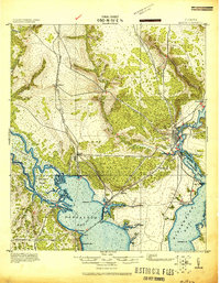
1920 · Milton
USGS Topo · 1:62,500
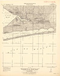
1921 · Holley
USGS Topo · 1:62,500
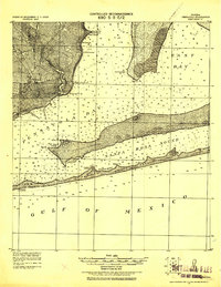
1921 · Pensacola
USGS Topo · 1:62,500
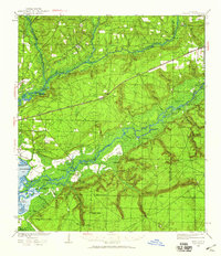
1934 · Harold
USGS Topo · 1:62,500
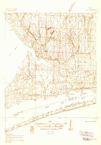
1936 · Holley
USGS Topo · 1:48,000
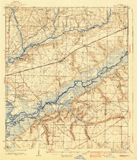
1937 · Harold
USGS Topo · 1:62,500
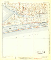
1938 · Holley
USGS Topo · 1:62,500
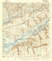
1938 · Harold
USGS Topo · 1:62,500
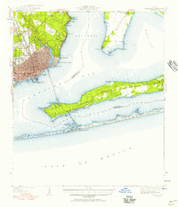
1941 · Pensacola
USGS Topo · 1:62,500
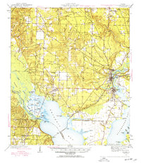
1941 · Milton
USGS Topo · 1:62,500