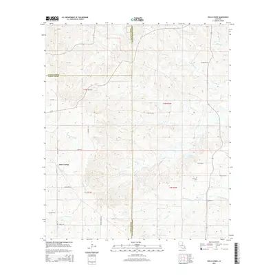
2015 Map of Hollis Creek
USGS Topo · Published 2015About this map
Dobs Crossing serves as a primary reference point in this transition zone between Sabine, De Soto, and Natchitoches Parishes. The landscape is defined by an intricate network of waterways draining toward the southwest, including Bayou San Miguel, Hollis Creek, and the winding Bayou Terre Blanc. This hydrology-heavy terrain is crisscrossed by numerous local roads bearing family names, suggesting a deeply rooted rural community structure. Genealogy researchers will find McCartney Cem situated in the eastern portion of the survey area, while the placement of Lockes Ponds and various creek forks like N Fork San Miguel Cr reveal the specific natural landmarks used to navigate this corner of Louisiana. The convergence of multiple parish lines near Wallace Bayou reflects the complex jurisdictional boundaries that have shaped local land ownership and records for generations.
Find a feature on this map
37 named features on this map. Tap any name to fly to it.
Don’t see what you’re looking for? This feature index may not catch every label — zoom into the map to look around manually.
Map Details
Editions of this 2015 Hollis Creek Map
This is the sole edition of this map. No revisions or reprints were ever made.
Other maps of this area
1938 · Chemard Lake
USGS Topo · 1:31,680
1938 · Hollis Creek
USGS Topo · 1:31,680
1938 · Allen
USGS Topo · 1:31,680
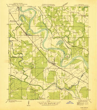
1938 · Lake End
USGS Topo · 1:31,680
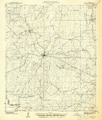
1941 · Zwolle
USGS Topo · 1:62,500
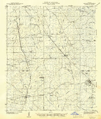
1941 · Pelican
USGS Topo · 1:62,500
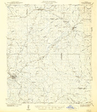
1942 · Many
USGS Topo · 1:62,500
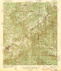
1943 · Many
USGS Topo · 1:62,500
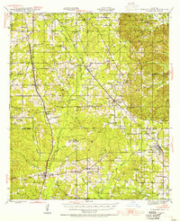
1943 · Pleasant Hill
USGS Topo · 1:62,500
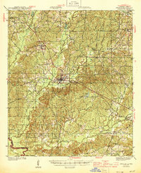
1944 · Zwolle
USGS Topo · 1:62,500