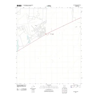
2010 Map of Holloman
USGS Topo · Published 2010About this map
Holloman Air Force Base occupies the majority of this desert landscape west of Alamogordo, appearing here as it was established in the early 21st century. The map illustrates the specialized infrastructure of the military installation, including the street grid serving base housing and operations. Key thoroughfares such as Valencia Dr, E Delaware Ave, and Arkansas Ave provide structure to the residential and administrative blocks of the facility.
Find a feature on this map
10 named features on this map. Tap any name to fly to it.
Don’t see what you’re looking for? This feature index may not catch every label — zoom into the map to look around manually.
Map Details
Editions of this 2010 Holloman Map
This is the sole edition of this map. No revisions or reprints were ever made.
Other maps of this area
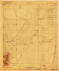
1916 · Point Of Sands
USGS Topo · 1:125,000
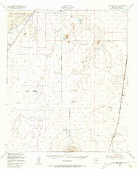
1948 · Tres Hermanos
USGS Topo · 1:62,500
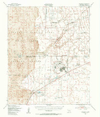
1948 · Holloman
USGS Topo · 1:62,500
1950 · Escondido Canyon
USGS Topo · 1:62,500
1950 · Alamogordo
USGS Topo · 1:62,500

1954 · Carlsbad
USGS Topo · 1:250,000
1955 · Las Cruces
USGS Topo · 1:250,000
1958 · Las Cruces
USGS Topo · 1:250,000

1958 · Carlsbad
USGS Topo · 1:250,000
1976 · Mule Peak
USGS Topo · 1:24,000