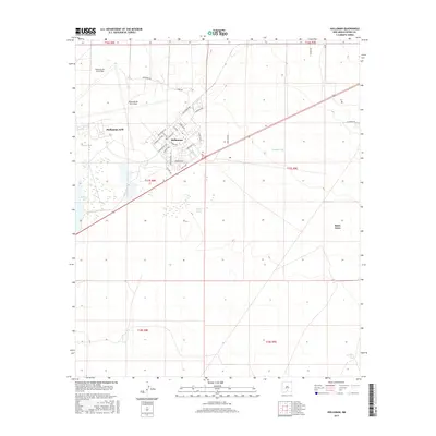
2017 Map of Holloman
USGS Topo · Published 2017About this map
Holloman Air Force Base dominates the western landscape of this Otero County region, situated just west of the growing community at Boles Acres. The military presence is defined by a dense grid of residential and service streets such as Arkansas Ave, Tabosa Ave, and W New Mexico Ave, contrasted against the open periphery roads like Sabre Rd. To the south and east, the desert terrain is marked by essential water management features including Holloman Lake, Mogee Tank, and Kennedy Tank, which illustrate the hydraulic infrastructure necessary for this arid New Mexico environment. The mapping of the Holloman settlement area shows a structured development pattern nestled between the air base operations and the expansive rangelands defined by the Public Land Survey System township and range lines.
Find a feature on this map
38 named features on this map. Tap any name to fly to it.
Don’t see what you’re looking for? This feature index may not catch every label — zoom into the map to look around manually.
Map Details
Editions of this 2017 Holloman Map
This is the sole edition of this map. No revisions or reprints were ever made.
Other maps of this area
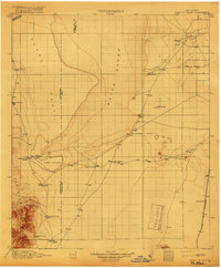
1916 · Point Of Sands
USGS Topo · 1:125,000
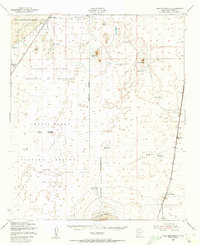
1948 · Tres Hermanos
USGS Topo · 1:62,500
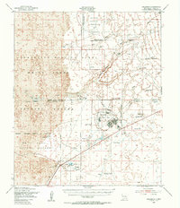
1948 · Holloman
USGS Topo · 1:62,500
1950 · Escondido Canyon
USGS Topo · 1:62,500
1950 · Alamogordo
USGS Topo · 1:62,500

1954 · Carlsbad
USGS Topo · 1:250,000
1955 · Las Cruces
USGS Topo · 1:250,000
1958 · Las Cruces
USGS Topo · 1:250,000

1958 · Carlsbad
USGS Topo · 1:250,000
1976 · Mule Peak
USGS Topo · 1:24,000