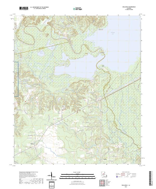
2024 Map of Holloway
USGS Topo · Published 2024About this map
Holloway and Deville anchor this landscape where the uplands of Central Louisiana meet the expansive wetlands surrounding Catahoula Lake. The northern reach of the sheet is dominated by the Little River and its intricate drainage network, including Duck Slough and Schoolhouse Branch, while the eastern edge follows the jagged shoreline of the lake at Routh Point and River Point. This transition from prairie to basin is marked by features like Catfish Prairie and Middle Prairie, illustrating the distinct ecological zones that have shaped local settlement patterns.
Find a feature on this map
75 named features on this map. Tap any name to fly to it.
Don’t see what you’re looking for? This feature index may not catch every label — zoom into the map to look around manually.
Map Details
Editions of this 2024 Holloway Map
This is the sole edition of this map. No revisions or reprints were ever made.
Other maps of this area

1936 · Pollock
USGS Topo · 1:62,500

1941 · Jena
USGS Topo · 1:62,500

1941 · Alexandria
USGS Topo · 1:62,500

1941 · Buckeye
USGS Topo · 1:62,500

1941 · Pollock
USGS Topo · 1:62,500

1953 · Alexandria
USGS Topo · 1:250,000

1955 · Alexandria
USGS Topo · 1:250,000

1957 · Alexandria
USGS Topo · 1:62,500

1958 · Pollock
USGS Topo · 1:62,500

1958 · Jena
USGS Topo · 1:62,500