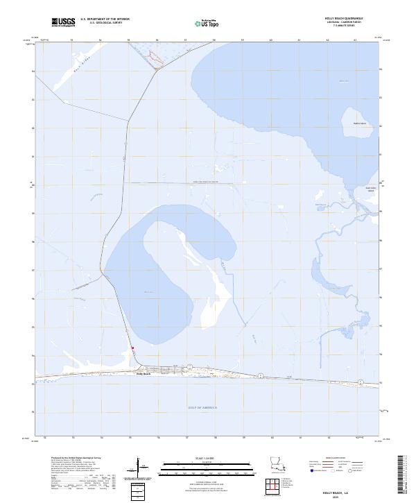
2025 Map of Holly Beach
USGS Topo · Published 2025About this map
Holly Beach sits at the edge of the Gulf of America, serving as a coastal gateway where Louisiana State Routes La 27 and La 82 converge. This 2025 survey illustrates a landscape dominated by the complex hydrology of Cameron Parish, featuring an intricate network of waterways such as Mud Lake, Oyster Lake, and West Cove. The presence of the Mobil-Fina-Texaco Oil Field Rd and the Fina Oil Field Rd points to the area's ongoing role in the regional energy industry. Natural features like Rabbit Island and Saint Johns Island are situated among the brackish marshes, while the Wetland Walkway Trl near Back Ridge suggests a managed approach to the local ecosystem. Researchers can trace the narrow residential corridors of Mallard St, Heron St, and Egret St that define the compact settlement of the beach community.
Find a feature on this map
24 named features on this map. Tap any name to fly to it.
Don’t see what you’re looking for? This feature index may not catch every label — zoom into the map to look around manually.
Map Details
Editions of this 2025 Holly Beach Map
This is the sole edition of this map. No revisions or reprints were ever made.
Other maps of this area

1934 · Cameron
USGS Topo · 1:24,000

1934 · Holly Beach
USGS Topo · 1:24,000

1934 · Peveto Beach
USGS Topo · 1:24,000

1934 · Browns Lake
USGS Topo · 1:24,000

1934 · Five Lakes
USGS Topo · 1:24,000

1935 · Peveto Beach
USGS Topo · 1:31,680

1935 · Cameron
USGS Topo · 1:31,680

1935 · Five Lakes
USGS Topo · 1:31,680

1935 · Hackberry
USGS Topo · 1:31,680

1935 · Holly Beach
USGS Topo · 1:31,680