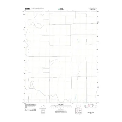
2010 Map of Holly NE
USGS Topo · Published 2010About this map
Wild Horse Creek and East Horse Creek meander across this high plains landscape of Prowers County, Colorado, and western Kansas. The terrain is defined by a strictly organized grid of agricultural corridors, such as County Rd-3 and County Road B, which facilitate the region's ranching and farming operations. The southern portion of the map is influenced by the Hart Lateral, an irrigation feature that reflects the critical importance of water management in this arid environment. This 2010 survey shows the intersection of natural drainage systems like Cheyenne Creek with human infrastructure, including the curiously named County Road Railroad, providing a clear record of land use and property boundaries along the state line.
Find a feature on this map
24 named features on this map. Tap any name to fly to it.
Don’t see what you’re looking for? This feature index may not catch every label — zoom into the map to look around manually.
Map Details
Editions of this 2010 Holly NE Map
This is the sole edition of this map. No revisions or reprints were ever made.
Other maps of this area

1890 · Granada
USGS Topo · 1:125,000

1892 · Granada
USGS Topo · 1:125,000

1894 · Granada
USGS Topo · 1:125,000

1953 · Holly West
USGS Topo · 1:24,000

1953 · Holly East
USGS Topo · 1:24,000

1954 · Lamar
USGS Topo · 1:250,000

1955 · Holly NE
USGS Topo · 1:24,000
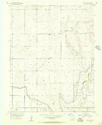
1955 · Holly NW
USGS Topo · 1:24,000

1955 · Scott City
USGS Topo · 1:250,000

1958 · Lamar
USGS Topo · 1:250,000