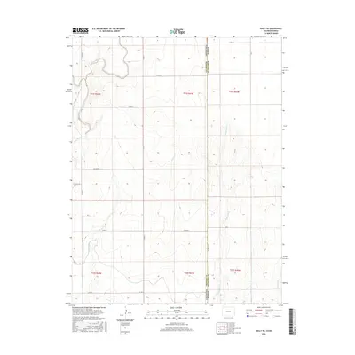
2016 Map of Holly NE
USGS Topo · Published 2016About this map
The Kansas-Colorado border defines the eastern edge of this agricultural landscape in Prowers County, where the high plains meet a complex irrigation network. The Amity Canal and Hart Lateral demonstrate the vital role of water management in this arid region, providing the infrastructure necessary for farming south of the Wild Horse Creek drainage. The map reveals a strictly gridded section system, dominated by rural roads like Co Rd 35 and Co Rd 37, which serve the various township divisions. The terrain is marked by seasonal drainages including Cheyenne Cr and E Horse Cr, which carve subtle topography into the prairie. This survey provides a clear view of the state line boundary and the local road network that connects these remote borderlands.
Find a feature on this map
28 named features on this map. Tap any name to fly to it.
Don’t see what you’re looking for? This feature index may not catch every label — zoom into the map to look around manually.
Map Details
Editions of this 2016 Holly NE Map
This is the sole edition of this map. No revisions or reprints were ever made.
Other maps of this area
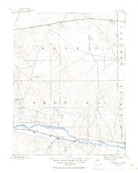
1890 · Granada
USGS Topo · 1:125,000
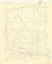
1892 · Granada
USGS Topo · 1:125,000
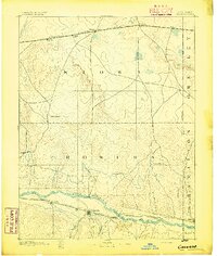
1894 · Granada
USGS Topo · 1:125,000
1953 · Holly West
USGS Topo · 1:24,000
1953 · Holly East
USGS Topo · 1:24,000

1954 · Lamar
USGS Topo · 1:250,000
1955 · Holly NE
USGS Topo · 1:24,000
1955 · Holly NW
USGS Topo · 1:24,000

1955 · Scott City
USGS Topo · 1:250,000

1958 · Lamar
USGS Topo · 1:250,000