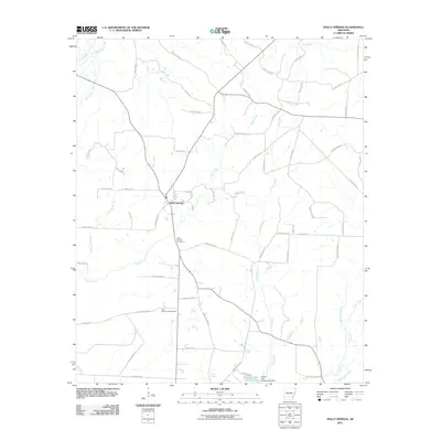
2011 Map of Holly Springs
USGS Topo · Published 2011About this map
Holly Springs serves as the central hub for this portion of Dallas County, situated at a junction of regional routes. The settlement is anchored by the historic Holly Springs Cemetery, while the surrounding landscape is defined by a dense network of watercourses including Mill Creek, Tulip Creek, and Pattersons Branch. To the south, the Holly Spring Lookout Tower stands as a notable landmark overlooking the timberlands and drainage basins that feed into Freeo Creek.
Find a feature on this map
66 named features on this map. Tap any name to fly to it.
Don’t see what you’re looking for? This feature index may not catch every label — zoom into the map to look around manually.
Map Details
Editions of this 2011 Holly Springs Map
This is the sole edition of this map. No revisions or reprints were ever made.
Other maps of this area

1903 · Camden
USGS Topo · 1:125,000

1953 · El Dorado
USGS Topo · 1:250,000

1957 · El Dorado
USGS Topo · 1:250,000

1958 · El Dorado
USGS Topo · 1:250,000

1960 · El Dorado
USGS Topo · 1:250,000
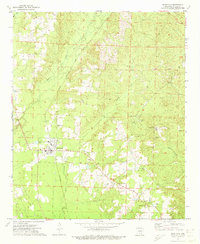
1971 · Sparkman
USGS Topo · 1:24,000

1971 · Ouachita
USGS Topo · 1:24,000
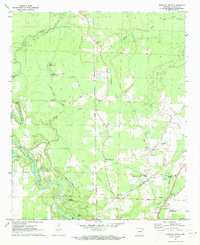
1971 · Harmony Grove
USGS Topo · 1:24,000

1973 · Bearden
USGS Topo · 1:24,000
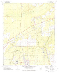
1973 · Eagle Mills
USGS Topo · 1:24,000