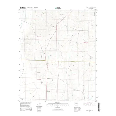
2014 Map of Holly Springs
USGS Topo · Published 2014About this map
Holly Springs serves as the central hub of this South Arkansas landscape, situated along the corridor of AR 9 Hwy near the border of Dallas and Ouachita counties. The terrain is defined by a dense network of minor waterways, including Tulip Cr, White Oak Cr, and Pattersons Br, which drain the low-lying timberlands. For those tracing local history, the map identifies several significant landmarks, notably the Holly Spring Lookout Tower positioned to monitor the surrounding forests. The community's heritage is anchored by established sites such as the Holly Springs Cem and Oak Grove Cem. The map's detailed road network, featuring numerous county routes like Dallas 216 Rd and Ouachita 295 Rd, illustrates the rural connectivity between isolated homesteads and the creek valleys of Freeo Cr and Steamboat Cr in the southern reaches of the quadrangle.
Find a feature on this map
54 named features on this map. Tap any name to fly to it.
Don’t see what you’re looking for? This feature index may not catch every label — zoom into the map to look around manually.
Map Details
Editions of this 2014 Holly Springs Map
This is the sole edition of this map. No revisions or reprints were ever made.
Other maps of this area
1903 · Camden
USGS Topo · 1:125,000

1953 · El Dorado
USGS Topo · 1:250,000
1957 · El Dorado
USGS Topo · 1:250,000
1958 · El Dorado
USGS Topo · 1:250,000
1960 · El Dorado
USGS Topo · 1:250,000
1971 · Sparkman
USGS Topo · 1:24,000
1971 · Ouachita
USGS Topo · 1:24,000
1971 · Harmony Grove
USGS Topo · 1:24,000
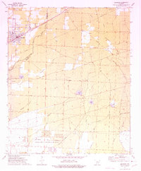
1973 · Bearden
USGS Topo · 1:24,000
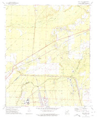
1973 · Eagle Mills
USGS Topo · 1:24,000