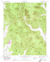
1948 Map of Hollytree
USGS Topo · Published 1982About this map
Bingham Mountain and Sharp Mountain dominate this landscape on the Jackson and Madison County border, characterized by complex karst topography and deep coves. The settlement of Hollytree sits at the foot of the mountains near the eastern edge of the map, serving as a focal point for the surrounding rural valley. The terrain is defined by numerous sinkholes and caves, such as Cunningham Sinks, Jackson Sinks, and Scott Cave, which dictate the flow of intermittent streams like Dry Creek.
Find a feature on this map
56 named features on this map. Tap any name to fly to it.
Don’t see what you’re looking for? This feature index may not catch every label — zoom into the map to look around manually.
Map Details
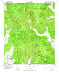
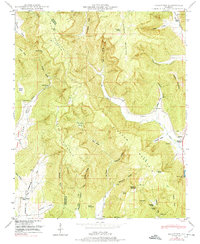
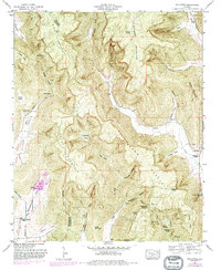
Editions of this 1948 Hollytree Map
4 editions found
Other maps of this area

1888 · Scottsboro
USGS Topo · 1:125,000

1892 · Scottsboro
USGS Topo · 1:125,000

1936 · King Cove
USGS Topo · 1:24,000

1936 · Moontown
USGS Topo · 1:24,000

1936 · Hollytree
USGS Topo · 1:24,000

1936 · Princeton
USGS Topo · 1:24,000

1936 · Lim Rock
USGS Topo · 1:24,000

1936 · Maysville
USGS Topo · 1:24,000
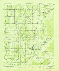
1936 · New Market
USGS Topo · 1:24,000
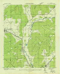
1936 · Paint Rock
USGS Topo · 1:24,000