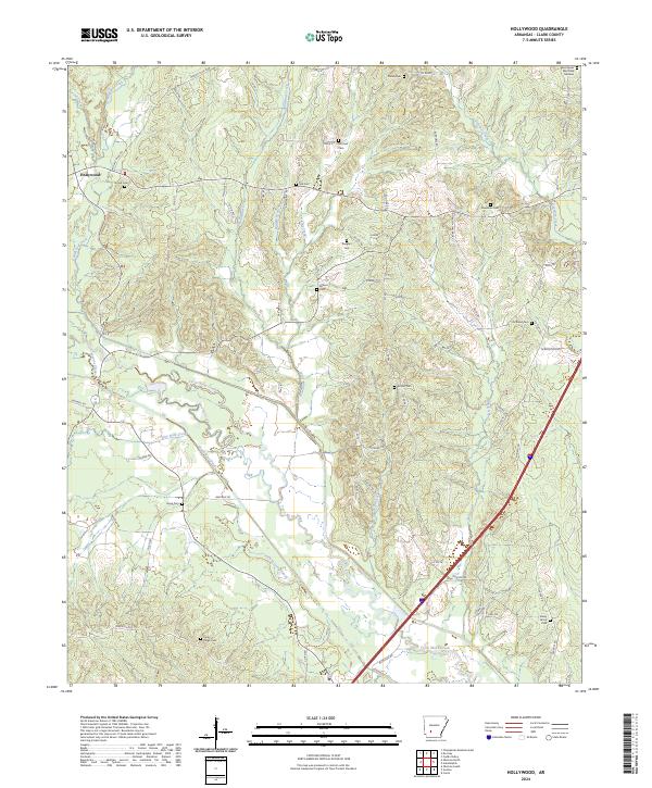
2024 Map of Hollywood
USGS Topo · Published 2024About this map
The community of Hollywood serves as a central point in this rural Clark County landscape, where the terrain is defined by the winding course of Terre Noire Creek and its many tributaries. This 2024 survey documents a land heavily shaped by its water drainage, featuring engineering landmarks like South Float Ditch alongside natural waterways such as Patterson Branch and Wingfield Creek. The area is characterized by a high density of small family or community burial grounds, including the Hollywood Cem, Bozeman Cem, and Richland Cem, which provide significant anchor points for genealogical research. The road network, including Mount Olive Rd and Dobyville Rd, follows the subtle rises and falls of the valley, connecting these scattered historic sites with larger markers like the Rest Haven Memorial Gardens on the eastern edge.
Find a feature on this map
79 named features on this map. Tap any name to fly to it.
Don’t see what you’re looking for? This feature index may not catch every label — zoom into the map to look around manually.
Map Details
Editions of this 2024 Hollywood Map
This is the sole edition of this map. No revisions or reprints were ever made.
Other maps of this area

1901 · Gurdon
USGS Topo · 1:125,000

1943 · Antoine
USGS Topo · 1:62,500

1953 · El Dorado
USGS Topo · 1:250,000

1955 · Little Rock
USGS Topo · 1:250,000

1956 · Little Rock
USGS Topo · 1:250,000

1957 · El Dorado
USGS Topo · 1:250,000

1958 · El Dorado
USGS Topo · 1:250,000

1959 · Caddo Valley
USGS Topo · 1:24,000

1959 · Arkadelphia
USGS Topo · 1:24,000

1960 · El Dorado
USGS Topo · 1:250,000